
Bestand:Road junction, Dursley town centre - geograph.org.uk - 103717.jpg

Grootte van deze voorvertoning: 790 × 600 pixels. Andere resoluties: 316 × 240 pixels | 632 × 480 pixels | 1.012 × 768 pixels | 1.280 × 972 pixels | 1.632 × 1.239 pixels.
Oorspronkelijk bestand (1.632 × 1.239 pixels, bestandsgrootte: 1,2 MB, MIME-type: image/jpeg)
| Dit is een bestand van Wikimedia Commons. Onderstaande beschrijving komt van de beschrijving van het bestand daar. |
Beschrijving
| Beschrijving |
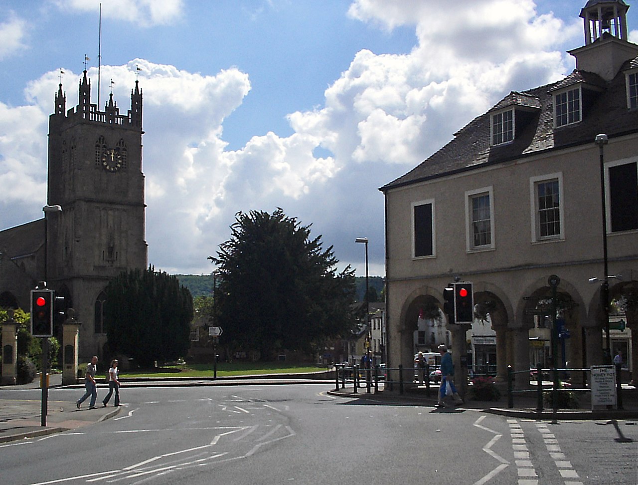
English: Road junction, Dursley town centre. The junction of Long Street / Castle Street / Silver Street / Parsonage Street in the centre of the town. The market Hall on the right dates from 1738, and was paid for by the Escourt family. The parish church on the left is dedicated to St. James. |
| Datum | |
| Bron | From geograph.org.uk |
| Auteur | Phil Champion |
| Naamsvermelding (required by the license) | Phil Champion / Road junction, Dursley town centre / |
| Objectlocatie | | Deze en andere afbeeldingen in: OpenStreetMap |
|---|
_&language=nl)
Licentie

|
Deze afbeelding komt uit de Geograph British Isles-collectie. Zie de pagina van deze foto op de website van Geograph voor contactinformatie van de fotograaf. Het auteursrecht van deze foto is in handen van Phil Champion en de foto is gelicenceerd voor hergebruik onder de Creative Commons Naamsvermelding-Gelijk delen 2.0 licentie.
|
Dit bestand is gelicenseerd onder de Creative Commons-licentie Naamsvermelding-Gelijk delen 2.0 Unported
Naamsvermelding: Phil Champion
- De gebruiker mag:
- Delen – het werk kopiëren, verspreiden en doorgeven
- Remixen – afgeleide werken maken
- Onder de volgende voorwaarden:
- naamsvermelding – U moet op een gepaste manier aan naamsvermelding doen, een link naar de licentie geven, en aangeven of er wijzigingen in het werk zijn aangebracht. U mag dit op elke redelijke manier doen, maar niet zodanig dat de indruk wordt gewekt dat de licentiegever instemt met uw werk of uw gebruik van zijn werk.
- Gelijk delen – Als u het werk heeft geremixt, veranderd, of erop heeft voortgebouwd, moet u het gewijzigde materiaal verspreiden onder dezelfde licentie als het oorspronkelijke werk, of een daarmee compatibele licentie.
Bestandsgeschiedenis
Klik op een datum/tijd om het bestand te zien zoals het destijds was.
| Datum/tijd | Miniatuur | Afmetingen | Gebruiker | Opmerking | |
|---|---|---|---|---|---|
| huidige versie | 22 jul 2021 03:01 | | 1.632 × 1.239 (1,2 MB) | Geograph Update Bot | Higher-resolution version from Geograph |
| 31 jan 2010 03:28 |  | 640 × 486 (109 kB) | GeographBot | == {{int:filedesc}} == {{Information |description={{en|1=Road junction, Dursley town centre. The junction of Long Street / Castle Street / Silver Street / Parsonage Street in the centre of the town. The market Hall on the right dates from 1738, and was pa |
Bestandsgebruik
Dit bestand wordt op de volgende pagina gebruikt:
Globaal bestandsgebruik
De volgende andere wiki's gebruiken dit bestand:
- Gebruikt op nn.wikipedia.org