
Bestand:A map of Kamtschatka engraved from the russian map by Tho Jefferys.jpg

Oorspronkelijk bestand (2.499 × 2.123 pixels, bestandsgrootte: 969 kB, MIME-type: image/jpeg)
| Dit is een bestand van Wikimedia Commons. Onderstaande beschrijving komt van de beschrijving van het bestand daar. |
Beschrijving
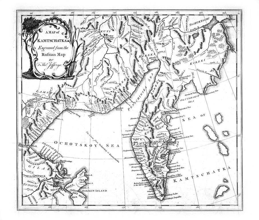
A map of Kamtschatka engraved from the russian map by Tho. Jefferys, aus: Stepan Petrovic Kraseninnikov: The history of Kamtschatka and the Kurilski Islands with the countries adjacent; Illustrated with maps and cuts. Published at Petersbourg in the Russian language by order of her Imperial Majesty (Übersetzung von James Grieve), London 1764
- Quelle: Göttinger Digitalisierungszentrum
- Persistant URL des Gesamtwerkes: http://www-gdz.sub.uni-goettingen.de/cgi-bin/digbib.cgi?PPN330822152
Licentie
|
Het tweedimensionale kunstwerk afgebeeld op deze afbeelding valt in het publiek domein omdat:
Reproducties van het werk kunnen ook worden beschouwd als publiek domein omdat ze geen oorspronkelijk karakter hebben. Dit geldt voor reproducties gemaakt in de Verenigde Staten (zie Bridgeman Art Library v. Corel Corp.), Duitsland en veel andere landen. {{PD-Art}} template without license parameter: please specify why the underlying work is public domain in both the source country and the United States
(Usage: {{PD-Art|1=|deathyear=''year of author's death''|country=''source country''}}, where parameter 1= can be PD-old-auto, PD-old-auto-expired, PD-old-auto-1996, PD-old-100 or similar. See Commons:Multi-license copyright tags for more information.) | ||||
Bestandsgeschiedenis
Klik op een datum/tijd om het bestand te zien zoals het destijds was.
| Datum/tijd | Miniatuur | Afmetingen | Gebruiker | Opmerking | |
|---|---|---|---|---|---|
| huidige versie | 11 okt 2006 12:13 | | 2.499 × 2.123 (969 kB) | Frank Schulenburg | ''A map of Kamtschatka engraved from the russian map by Tho. Jefferys'', in: Stepan Petrovic Kraseninnikov: The history of Kamtschatka and the Kurilski Islands with the countries adjacent; Illustrated with maps and cuts. Published at Petersbourg in the Ru |
Bestandsgebruik
Dit bestand wordt op de volgende pagina gebruikt:
Globaal bestandsgebruik
De volgende andere wiki's gebruiken dit bestand:
- Gebruikt op en.wikipedia.org
- Gebruikt op en.wikiversity.org
- Gebruikt op es.wikipedia.org