
Bestand:Aisne department relief location map.jpg
Grootte van deze voorvertoning: 404 × 599 pixels. Andere resoluties: 162 × 240 pixels | 323 × 480 pixels | 518 × 768 pixels | 1.124 × 1.667 pixels.
Oorspronkelijk bestand (1.124 × 1.667 pixels, bestandsgrootte: 375 kB, MIME-type: image/jpeg)
| Dit is een bestand van Wikimedia Commons. Onderstaande beschrijving komt van de beschrijving van het bestand daar. |
Beschrijving
| Cameralocatie | | Deze en andere afbeeldingen in: OpenStreetMap |
|---|
| Beschrijving |
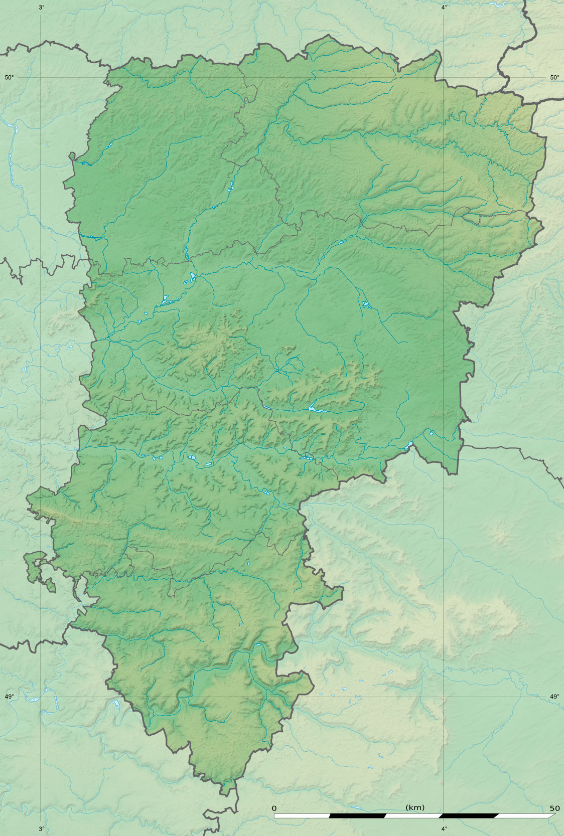
English: Blank physical map of the department of Aisne, France, as in January 2015, for geo-location purpose, with distinct boundaries for regions, departments and arrondissements.
Français : Carte physique vierge du département de l'Aisne, France, tel qu'en janvier 2015, destinée à la géolocalisation, avec limite distincte des régions, départements et arrondissements. Scales:
Equirectangular projection, WGS84 datum
Geographic limits of the map:
|
||
| Datum | |||
| Bron |
Eigen werk
|
||
| Auteur | Eric Gaba (Sting - fr:Sting) | ||
| Toestemming (Hergebruik van dit bestand) |
|
||
| Andere versies |
|

Licentie
Eric Gaba, Wikimedia Commons user Sting, de auteursrechthebbende van dit werk, maakt het hierbij onder de volgende licentie beschikbaar:
Dit bestand is gelicenseerd onder de Creative Commons-licentie Naamsvermelding-Gelijk delen 3.0 Unported
Naamsvermelding: Eric Gaba, Wikimedia Commons user Sting
- De gebruiker mag:
- Delen – het werk kopiëren, verspreiden en doorgeven
- Remixen – afgeleide werken maken
- Onder de volgende voorwaarden:
- naamsvermelding – U moet op een gepaste manier aan naamsvermelding doen, een link naar de licentie geven, en aangeven of er wijzigingen in het werk zijn aangebracht. U mag dit op elke redelijke manier doen, maar niet zodanig dat de indruk wordt gewekt dat de licentiegever instemt met uw werk of uw gebruik van zijn werk.
- Gelijk delen – Als u het werk heeft geremixt, veranderd, of erop heeft voortgebouwd, moet u het gewijzigde materiaal verspreiden onder dezelfde licentie als het oorspronkelijke werk, of een daarmee compatibele licentie.
Bestandsgeschiedenis
Klik op een datum/tijd om het bestand te zien zoals het destijds was.
| Datum/tijd | Miniatuur | Afmetingen | Gebruiker | Opmerking | |
|---|---|---|---|---|---|
| huidige versie | 12 jan 2015 19:00 | | 1.124 × 1.667 (375 kB) | Sting | == {{int:filedesc}} == {{Location|49|27|00|N|03|36|00|E|scale:500000}} {{Information |Description={{en|Blank physical map of the department of Aisne, France, as in January 2015, for geo-location purpose, with distinct boundaries for regio... |
Bestandsgebruik
Dit bestand wordt op de volgende pagina gebruikt:
Globaal bestandsgebruik
De volgende andere wiki's gebruiken dit bestand:
- Gebruikt op als.wikipedia.org
- Gebruikt op de.wikipedia.org
- Gebruikt op en.wikipedia.org
- Gebruikt op eo.wikipedia.org
- Gebruikt op frr.wikipedia.org
- Gebruikt op fr.wikipedia.org
- Château-Thierry
- Saint-Quentin
- Villers-Cotterêts
- Laon
- Soissons
- Coucy-le-Château-Auffrique
- Mauregny-en-Haye
- Buire
- Quierzy
- Marle
- Fère-en-Tardenois
- Bataille du Chemin des Dames
- Coucy-lès-Eppes
- Forêt de Retz
- Faverolles (Aisne)
- Vervins
- Bataille de Soissons (978)
- Gercy
- Roupy
- Vermand
- Aubenton
- Villequier-Aumont
- Crouy
- Braine (Aisne)
- Hirson
- Origny-en-Thiérache
- Ambleny
- Fayet (Aisne)
- La Ferté-Milon
- Septmonts
- Fontaine-Uterte
- Abbécourt
- Achery
- Acy
- Agnicourt-et-Séchelles
Globaal gebruik van dit bestand bekijken.