
Bestand:Asou-Bay ria coast aerial photograph.JPG
Grootte van deze voorvertoning: 800 × 599 pixels. Andere resoluties: 320 × 239 pixels | 640 × 479 pixels | 1.024 × 766 pixels | 1.280 × 958 pixels | 2.560 × 1.915 pixels | 3.487 × 2.609 pixels.
Oorspronkelijk bestand (3.487 × 2.609 pixels, bestandsgrootte: 3,63 MB, MIME-type: image/jpeg)
| Dit is een bestand van Wikimedia Commons. Onderstaande beschrijving komt van de beschrijving van het bestand daar. |
Beschrijving
| Beschrijving |
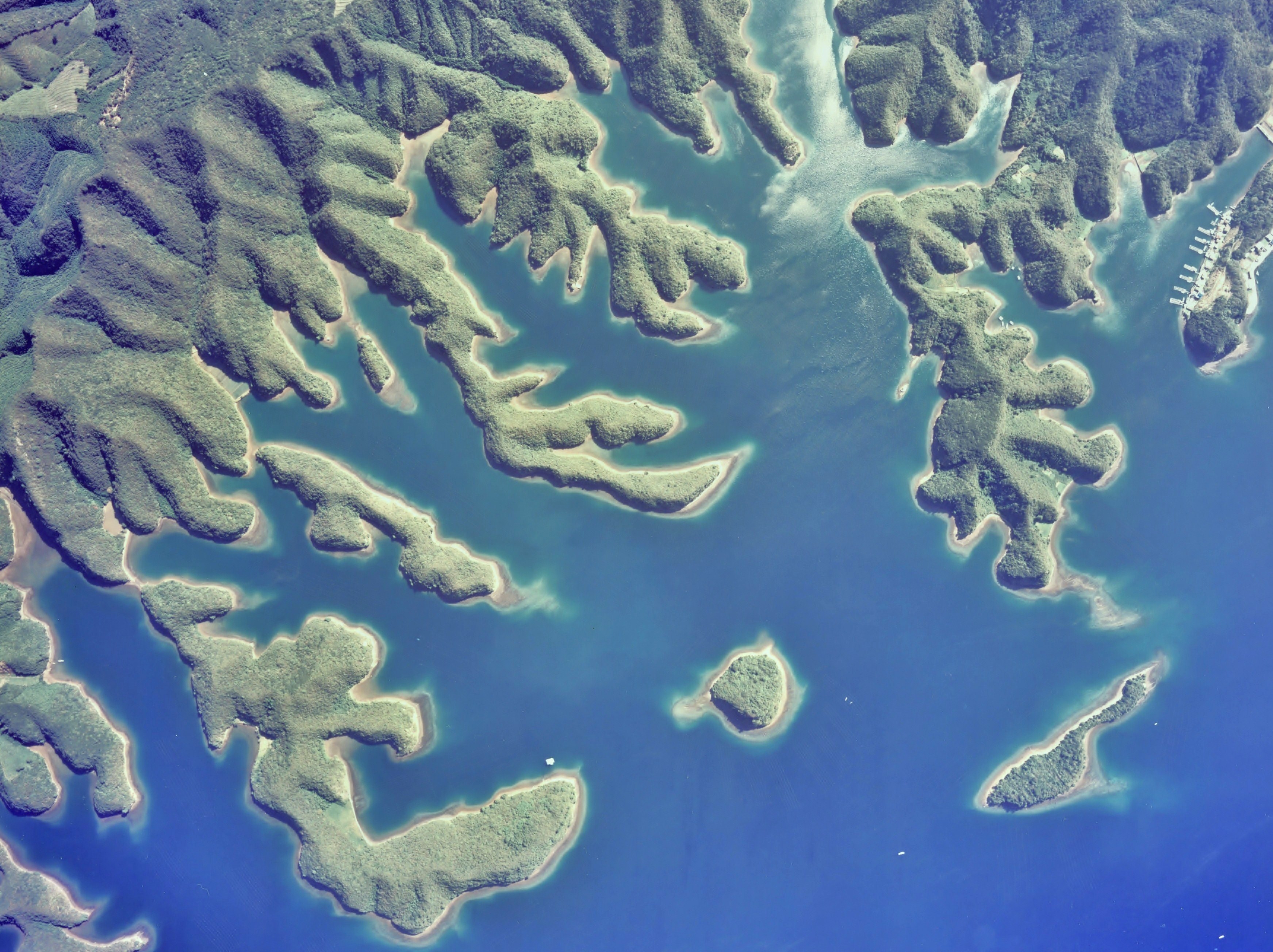
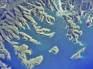
English: Gulf of Asou-Bay ria coast(drowned valley)aerial photograph in Tsushima Island Japan
日本語: 対馬、浅茅湾大千切島付近のリアス式海岸(溺れ谷)地形の空中写真。Cku-77-1_c16_13-1を使用。 |
| Datum | |
| Bron | 国土情報ウェブマッピングシステム |
| Auteur | 国土交通省 |
| Objectlocatie | | Deze en andere afbeeldingen in: OpenStreetMap |
|---|
Licentie

|
De auteursrechthebbende van dit bestand, the Ministry of Land, Infrastructure, Transport and Tourism of Japan, staat iedereen toe het voor willekeurig welk doel te gebruiken, mits de auteursrechthebbende correct met naam wordt genoemd.
Heruitgave, afgeleide werken, commercieel gebruik en alle andere vormen van gebruik zijn toegestaan. |
Naamsvermelding:
Copyright © National Land Image Information (Color Aerial Photographs), Ministry of Land, Infrastructure, Transport and Tourism
|
 |
This image is copyrighted by the Ministry of Land, Infrastructure, Transport and Tourism of Japan. For terms of use, see the stipulation to use of National Land Information (in Japanese) and message from MLIT (in Japanese and English). When you display this image on an article, include the following phrase in the description: "Made based on National Land Image Information (Color Aerial Photographs), Ministry of Land, Infrastructure, Transport and Tourism".
|
Bestandsgeschiedenis
Klik op een datum/tijd om het bestand te zien zoals het destijds was.
| Datum/tijd | Miniatuur | Afmetingen | Gebruiker | Opmerking | |
|---|---|---|---|---|---|
| huidige versie | 4 dec 2010 04:11 | | 3.487 × 2.609 (3,63 MB) | さかおり | {{Information |Description={{en|1=Gulf of Asou-Bay ria coast(drowned valley)aerial photograph in Tsushima Island Japan {{en|1={{ja|1=対馬、浅茅湾大千切島付近のリアス式海岸(溺れ谷)地形の空中写真。Cku-77-1_c16_13-1を� |
Bestandsgebruik
Dit bestand wordt op de volgende pagina gebruikt:
Globaal bestandsgebruik
De volgende andere wiki's gebruiken dit bestand:
- Gebruikt op bn.wikipedia.org
- Gebruikt op en.wikipedia.org
- Gebruikt op ja.wikipedia.org
- Gebruikt op ko.wikipedia.org
- Gebruikt op ms.wikipedia.org
- Gebruikt op nl.wiktionary.org
- Gebruikt op no.wikipedia.org