
Bestand:Baltic Air Policing map (LT).png
Grootte van deze voorvertoning: 427 × 600 pixels. Andere resoluties: 171 × 240 pixels | 492 × 691 pixels.
Oorspronkelijk bestand (492 × 691 pixels, bestandsgrootte: 107 kB, MIME-type: image/png)
| Dit is een bestand van Wikimedia Commons. Onderstaande beschrijving komt van de beschrijving van het bestand daar. |
Beschrijving
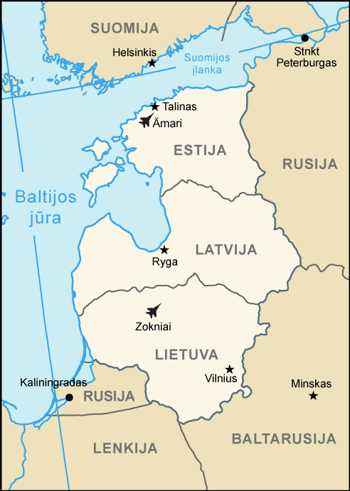
| Beschrijving | Baltic Air Policing map (Lithuanian version) | |||
| Datum | ||||
| Bron | Europe.svg | |||
| Auteur | arz | |||
| Toestemming (Hergebruik van dit bestand) |
|
|||
| Andere versies |
.png) |

.png)
Bestandsgeschiedenis
Klik op een datum/tijd om het bestand te zien zoals het destijds was.
| Datum/tijd | Miniatuur | Afmetingen | Gebruiker | Opmerking | |
|---|---|---|---|---|---|
| huidige versie | 16 mrt 2016 17:21 | | 492 × 691 (107 kB) | Arz | Additional air base Amari (Estonia) |
| 28 mei 2007 11:40 |  | 492 × 691 (92 kB) | Arz | == Summary == {{Information |Description=Baltic Air Policing map (Lithuanian version) |Source=Europe.svg |Date=May 28th 2007 |Author=arz |Permission={{PD-USGov-CIA-WF}} |other_versions=None }} Category:Maps of European regions |
Bestandsgebruik
Dit bestand wordt op de volgende pagina gebruikt:
Globaal bestandsgebruik
De volgende andere wiki's gebruiken dit bestand:
- Gebruikt op de.wikipedia.org
- Gebruikt op en.wikipedia.org
- Gebruikt op es.wikipedia.org
- Gebruikt op fi.wikipedia.org
- Gebruikt op fr.wikipedia.org
- Gebruikt op lt.wikipedia.org
- Gebruikt op ro.wikipedia.org
- Gebruikt op ru.wikipedia.org
- Gebruikt op sv.wikipedia.org
- Gebruikt op uk.wikipedia.org
.png)