
Bestand:Baltic Sea location map.svg

Oorspronkelijk bestand (SVG-bestand, nominaal 869 × 1.039 pixels, bestandsgrootte: 881 kB)
| Dit is een bestand van Wikimedia Commons. Onderstaande beschrijving komt van de beschrijving van het bestand daar. |
Beschrijving
| Beschrijving |
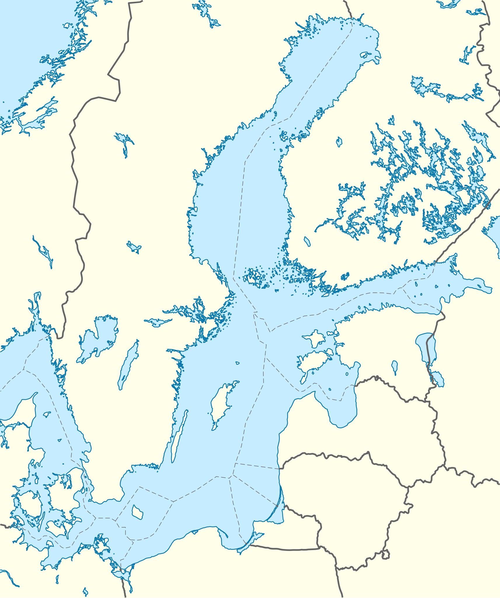
Quadratische Plattkarte, N-S-Streckung 200 %. Geographische Begrenzung der Karte:
English: Location map of the Baltic Sea
Equirectangular projection, N/S stretching 200 %. Geographic limits of the map:
|
|
| Datum | ||
| Bron | own work, using World Data Base II data | |
| Auteur | NordNordWest | |
| Toestemming (Hergebruik van dit bestand) |
Dit bestand is gelicenseerd onder de Creative Commons-licentie Naamsvermelding-Gelijk delen 3.0 Duitsland
 Dit bestand is gelicenseerd onder de Creative Commons-licentie Naamsvermelding-Gelijk delen 3.0 Unported
|


|
Deze kaart is gemaakt of verbeterd in de Duitse Kartenwerkstatt (Map Lab). Je kunt ook zelf kaarten ter verbetering voorstellen.
|
Bestandsgeschiedenis
Klik op een datum/tijd om het bestand te zien zoals het destijds was.
| Datum/tijd | Miniatuur | Afmetingen | Gebruiker | Opmerking | |
|---|---|---|---|---|---|
| huidige versie | 1 okt 2010 20:13 | | 869 × 1.039 (881 kB) | NordNordWest | == {{int:filedesc}} == {{Information |Description= {{de|Positionskarte der Ostsee}} Quadratische Plattkarte, N-S-Streckung 200 %. Geographische Begrenzung der Karte: * N: 66.2° N * S: 53.3° N * W: 9.0° O * O: 30.6° O {{en|Location map o |
Bestandsgebruik
Dit bestand wordt op de volgende pagina gebruikt:
Globaal bestandsgebruik
De volgende andere wiki's gebruiken dit bestand:
- Gebruikt op ab.wikipedia.org
- Gebruikt op ar.wikipedia.org
- Gebruikt op az.wikipedia.org
- Gebruikt op ba.wikipedia.org
- Gebruikt op be.wikipedia.org
- Gebruikt op bn.wikipedia.org
- Gebruikt op bxr.wikipedia.org
- Gebruikt op ceb.wikipedia.org
- Gebruikt op ce.wikipedia.org
- Gebruikt op de.wikipedia.org
- Gebruikt op en.wikipedia.org
- Svetlogorsk, Kaliningrad Oblast
- Vyborg Bay
- Vistula Spit
- Rakvere
- Juodkrantė
- Bagrationovsk
- Khrabrovo Airport
- Primorsk, Leningrad Oblast
- Finnish escort Aura II
- Vyborg
- Gretagrund
- Bothnian Sea National Park
- Bay of Pomerania (nature reserve)
- Stubber
- Module:Location map/data/Baltic Sea/doc
- Międzyzdroje Pier
- Kriegers Flak
- Hiiu Shoal
- Adlergrund
- Hoburg Shoal
- Module:Location map/data/Baltic Sea
- Gotland Deep
- Gebruikt op eo.wikipedia.org
- Gebruikt op es.wikipedia.org
- Gebruikt op et.wikipedia.org
- Gebruikt op fa.wikipedia.org
- Gebruikt op fi.wikipedia.org
Globaal gebruik van dit bestand bekijken.