
Bestand:Blank political map of Europe.png
Geen hogere resolutie beschikbaar.
Blank_political_map_of_Europe.png (680 × 520 pixels, bestandsgrootte: 161 kB, MIME-type: image/png)
| Dit is een bestand van Wikimedia Commons. Onderstaande beschrijving komt van de beschrijving van het bestand daar. |
Beschrijving
| Beschrijving |
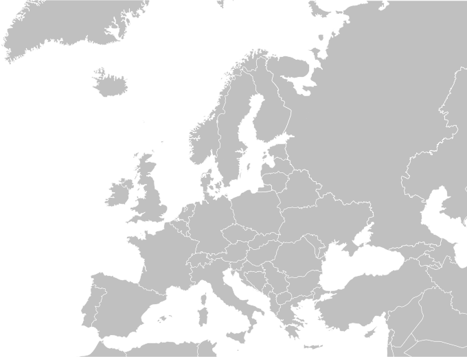
English: Blank political map of Europe.
Español: Mapa politica de Europa. |
| Datum | 04/09/2009 |
| Bron | Wikimedia Commons |
| Auteur | Carlosblh |
| Andere versies |
|
Licentie
Dit bestand is gelicenseerd onder de Creative Commons-licentie Naamsvermelding-Gelijk delen 3.0 Unported
- De gebruiker mag:
- Delen – het werk kopiëren, verspreiden en doorgeven
- Remixen – afgeleide werken maken
- Onder de volgende voorwaarden:
- naamsvermelding – U moet op een gepaste manier aan naamsvermelding doen, een link naar de licentie geven, en aangeven of er wijzigingen in het werk zijn aangebracht. U mag dit op elke redelijke manier doen, maar niet zodanig dat de indruk wordt gewekt dat de licentiegever instemt met uw werk of uw gebruik van zijn werk.
- Gelijk delen – Als u het werk heeft geremixt, veranderd, of erop heeft voortgebouwd, moet u het gewijzigde materiaal verspreiden onder dezelfde licentie als het oorspronkelijke werk, of een daarmee compatibele licentie.
Bestandsgeschiedenis
Klik op een datum/tijd om het bestand te zien zoals het destijds was.
| Datum/tijd | Miniatuur | Afmetingen | Gebruiker | Opmerking | |
|---|---|---|---|---|---|
| huidige versie | 31 mei 2015 17:30 | | 680 × 520 (161 kB) | Cmdrjameson | Compressed with pngout. Reduced by 66kB (29% decrease). |
| 27 mei 2010 05:57 |  | 680 × 520 (227 kB) | Mclay1 | Removed borders in Sweden and Russia | |
| 4 sep 2009 07:56 |  | 680 × 520 (119 kB) | Carlosblh | {{Information |Description={{en|1=Blank map of Europe.}} {{es|1=Mapa de Europa.}} |Source=Wikimedia Commons |Author=Carlosblh |Date=04/09/2009 |Permission= |other_versions=120px }} [[Category:Maps o |
Bestandsgebruik
Geen enkele pagina gebruikt dit bestand.
Globaal bestandsgebruik
De volgende andere wiki's gebruiken dit bestand:
- Gebruikt op en.wikipedia.org