
Bestand:Central Equatoria Map.svg

Afmetingen van deze voorvertoning van het type PNG van dit SVG-bestand: 800 × 581 pixels Andere resoluties: 320 × 232 pixels | 640 × 465 pixels | 1.024 × 743 pixels | 1.280 × 929 pixels | 2.560 × 1.858 pixels | 1.561 × 1.133 pixels.
Oorspronkelijk bestand (SVG-bestand, nominaal 1.561 × 1.133 pixels, bestandsgrootte: 210 kB)
| Dit is een bestand van Wikimedia Commons. Onderstaande beschrijving komt van de beschrijving van het bestand daar. |
Beschrijving
| Beschrijving |
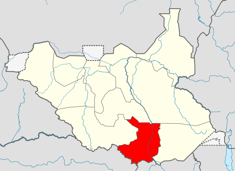
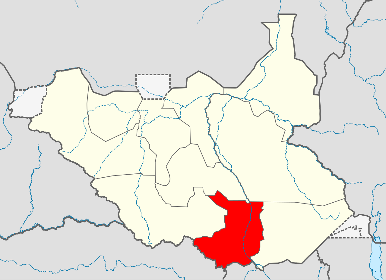
Српски / srpski: Мапа Централне Екваторије
|
||||||
| Datum | |||||||
| Bron | Eigen werk | ||||||
| Auteur | Ivan25 | ||||||
Licentie
Ik, de auteursrechthebbende van dit werk, maak het hierbij onder de volgende licentie beschikbaar:
Dit bestand is gelicenseerd onder de Creative Commons-licentie Naamsvermelding-Gelijk delen 3.0 Unported
- De gebruiker mag:
- Delen – het werk kopiëren, verspreiden en doorgeven
- Remixen – afgeleide werken maken
- Onder de volgende voorwaarden:
- naamsvermelding – U moet op een gepaste manier aan naamsvermelding doen, een link naar de licentie geven, en aangeven of er wijzigingen in het werk zijn aangebracht. U mag dit op elke redelijke manier doen, maar niet zodanig dat de indruk wordt gewekt dat de licentiegever instemt met uw werk of uw gebruik van zijn werk.
- Gelijk delen – Als u het werk heeft geremixt, veranderd, of erop heeft voortgebouwd, moet u het gewijzigde materiaal verspreiden onder dezelfde licentie als het oorspronkelijke werk, of een daarmee compatibele licentie.
Bestandsgeschiedenis
Klik op een datum/tijd om het bestand te zien zoals het destijds was.
| Datum/tijd | Miniatuur | Afmetingen | Gebruiker | Opmerking | |
|---|---|---|---|---|---|
| huidige versie | 18 aug 2011 19:27 | | 1.561 × 1.133 (210 kB) | Spesh531 | update |
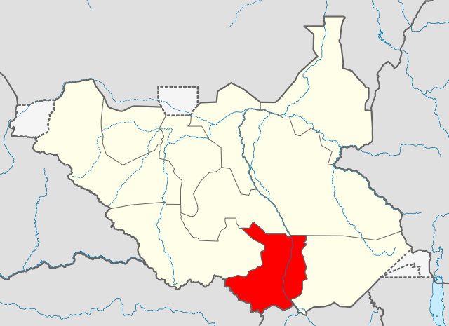
| 9 jul 2011 06:09 |  | 1.500 × 1.133 (244 kB) | B1mbo | New version based in File:South Sudan location map.svg | |
| 16 jun 2011 15:55 |  | 422 × 315 (20 kB) | Ivan25 |
Bestandsgebruik
Dit bestand wordt op de volgende pagina gebruikt:
Globaal bestandsgebruik
De volgende andere wiki's gebruiken dit bestand:
- Gebruikt op ab.wikipedia.org
- Gebruikt op ar.wikipedia.org
- Gebruikt op bg.wikipedia.org
- Gebruikt op ca.wikipedia.org
- Gebruikt op el.wikipedia.org
- Gebruikt op en.wikipedia.org
- Gondokoro
- Central Equatoria
- Rokon, South Sudan
- Juba
- Kaya, South Sudan
- Dimo, South Sudan
- Kajo Keji
- University of Juba
- Lainya County
- Kajo Keji Airstrip
- Yei Airport
- Juba Stadium
- Demographics of South Sudan
- Lado, South Sudan
- Rejaf
- St. Mary's University in Juba
- Catholic University of South Sudan
- The Bridge University
- Bandingilo National Park
- Juba County
- Mongalla, South Sudan
- Terekeka County
- Terekeka
- Template:Central Equatoria
- Juba International Airport
- Morobo County
- Yei River County
- Kajo Keji County
- Gebruikt op eo.wikipedia.org
- Gebruikt op fi.wikipedia.org
- Gebruikt op fr.wikipedia.org
Globaal gebruik van dit bestand bekijken.