
Bestand:Ceredigion UK location map.svg

Afmetingen van deze voorvertoning van het type PNG van dit SVG-bestand: 717 × 600 pixels Andere resoluties: 287 × 240 pixels | 574 × 480 pixels | 918 × 768 pixels | 1.224 × 1.024 pixels | 2.448 × 2.048 pixels | 1.425 × 1.192 pixels.
Oorspronkelijk bestand (SVG-bestand, nominaal 1.425 × 1.192 pixels, bestandsgrootte: 799 kB)
| Dit is een bestand van Wikimedia Commons. Onderstaande beschrijving komt van de beschrijving van het bestand daar. |
| Beschrijving |
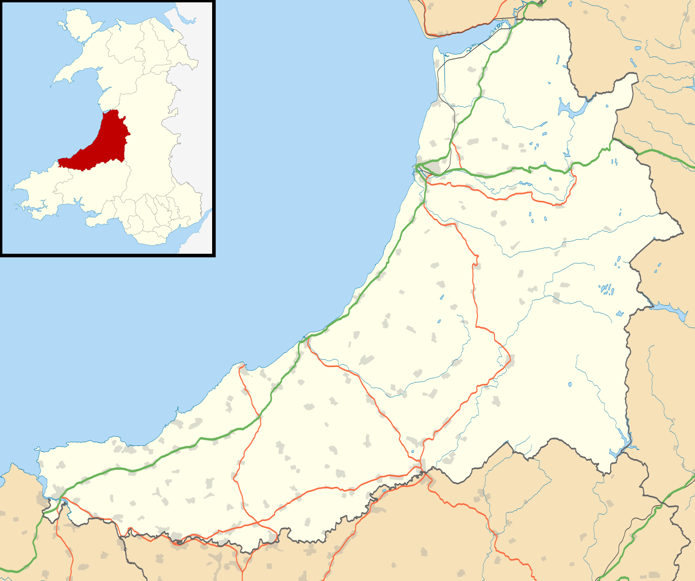
Blank map of Ceredigion, UK with the following information shown:
Equirectangular map projection on WGS 84 datum, with N/S stretched 160% Geographic limits:
|
| Datum | |
| Bron |
|
| Auteur | Nilfanion, created using Ordnance Survey data |
| Toestemming (Hergebruik van dit bestand) |
Dit bestand is gelicenseerd onder de Creative Commons-licentie Naamsvermelding-Gelijk delen 3.0 Unported Naamsvermelding: Contains Ordnance Survey data © Crown copyright and database right
|
| Andere versies | File:Ceredigion UK map.svg - Blank map |
Bestandsgeschiedenis
Klik op een datum/tijd om het bestand te zien zoals het destijds was.
| Datum/tijd | Miniatuur | Afmetingen | Gebruiker | Opmerking | |
|---|---|---|---|---|---|
| huidige versie | 26 sep 2010 21:31 | | 1.425 × 1.192 (799 kB) | Nilfanion | {{Information |Description=Blank map of Ceredigion, UK with the following information shown: *Administrative borders *Coastline, lakes and rivers *Roads and railways *Urban areas Equirectangular map projection on WGS 84 datum, with N/S s |
Bestandsgebruik
Dit bestand wordt op de volgende 2 pagina's gebruikt:
Globaal bestandsgebruik
De volgende andere wiki's gebruiken dit bestand:
- Gebruikt op ar.wikipedia.org
- Gebruikt op azb.wikipedia.org
- Gebruikt op ceb.wikipedia.org
- Gebruikt op cy.wikipedia.org
- Gebruikt op da.wikipedia.org
- Gebruikt op en.wikipedia.org
- List of monastic houses in Wales
- Ceredigion
- Borth
- Aberaeron
- Cardigan, Ceredigion
- Lampeter
- New Quay
- Tregaron
- Pontrhydfendigaid
- Llangrannog
- Llangeitho
- Llanddewi Brefi
- Aberporth
- Mwnt
- Llangoedmor
- Penbryn
- Llandysul
- Llechryd
- Llanarth, Ceredigion
- Beulah, Ceredigion
- Talgarreg
- Penparcau
- Y Ferwig
- Penrhyn-coch
- Cribyn
- Llandygwydd
- Penuwch
- Gorsgoch
- Betws Ifan
- Ynyslas
- Ystrad Meurig
- Comins Coch
- Llanbadarn Fawr, Ceredigion
- Tregaron Hospital
- Cardigan and District Community Hospital
- Rhydowen
- Llanfair Clydogau
- Gwbert
- Aberystwyth Arts Centre
- Caemorgan
- Soar y mynydd
- Tal-y-bont, Ceredigion
- Alltyblacca
- Llandre
Globaal gebruik van dit bestand bekijken.