
Bestand:Colombia Caribbean coastal islands location map.svg

Afmetingen van deze voorvertoning van het type PNG van dit SVG-bestand: 379 × 599 pixels Andere resoluties: 152 × 240 pixels | 304 × 480 pixels | 486 × 768 pixels | 648 × 1.024 pixels | 1.296 × 2.048 pixels | 1.778 × 2.810 pixels.
Oorspronkelijk bestand (SVG-bestand, nominaal 1.778 × 2.810 pixels, bestandsgrootte: 116 kB)
| Dit is een bestand van Wikimedia Commons. Onderstaande beschrijving komt van de beschrijving van het bestand daar. |
Beschrijving
| Beschrijving |
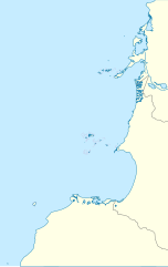
English: Location map of Caribbean coastal islands of Colombia.
Geographic limits of the map:
Español: Mapa localizador de las islas costeras del Caribe colombiano (Islas Corales del Rosario, Archipiélago de San Bernardo, Isla Fuerte e Isla Tortuguilla) |
| Datum | |
| Bron | Eigen werk |
| Auteur | Milenioscuro |
Licentie
Ik, de auteursrechthebbende van dit werk, maak het hierbij onder de volgende licentie beschikbaar:
Dit bestand is gelicenseerd onder de Creative Commons-licentie Naamsvermelding-Gelijk delen 3.0 Unported
- De gebruiker mag:
- Delen – het werk kopiëren, verspreiden en doorgeven
- Remixen – afgeleide werken maken
- Onder de volgende voorwaarden:
- naamsvermelding – U moet op een gepaste manier aan naamsvermelding doen, een link naar de licentie geven, en aangeven of er wijzigingen in het werk zijn aangebracht. U mag dit op elke redelijke manier doen, maar niet zodanig dat de indruk wordt gewekt dat de licentiegever instemt met uw werk of uw gebruik van zijn werk.
- Gelijk delen – Als u het werk heeft geremixt, veranderd, of erop heeft voortgebouwd, moet u het gewijzigde materiaal verspreiden onder dezelfde licentie als het oorspronkelijke werk, of een daarmee compatibele licentie.
Bestandsgeschiedenis
Klik op een datum/tijd om het bestand te zien zoals het destijds was.
| Datum/tijd | Miniatuur | Afmetingen | Gebruiker | Opmerking | |
|---|---|---|---|---|---|
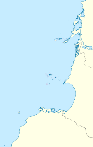
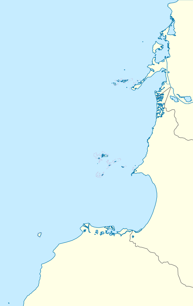
| huidige versie | 26 mei 2015 10:33 | | 1.778 × 2.810 (116 kB) | Milenioscuro | border |
| 27 dec 2011 02:24 |  | 1.778 × 2.810 (117 kB) | Milenioscuro | layers, borders, and other changes | |
| 12 aug 2011 20:36 |  | 1.778 × 2.810 (143 kB) | Milenioscuro | colors | |
| 9 jul 2011 09:43 |  | 1.778 × 2.810 (168 kB) | Milenioscuro | {{Information |Description ={{en|1=Location map of Caribbean coastal islands of Colombia.}} {{es|1=Mapa localizador de las islas costeras del Caribe colombiano (Islas Corales del Rosario, [[:es:Archipiélago de San Ber |
Bestandsgebruik
Dit bestand wordt op de volgende pagina gebruikt:
Globaal bestandsgebruik
De volgende andere wiki's gebruiken dit bestand:
- Gebruikt op de.wikipedia.org
- Gebruikt op en.wikipedia.org
- Gebruikt op es.wikipedia.org
- Gebruikt op fa.wikipedia.org
- Gebruikt op fr.wikipedia.org
- Gebruikt op si.wikipedia.org
- Gebruikt op uz.wikipedia.org