
Bestand:Conflict Group.jpg

Grootte van deze voorvertoning: 800 × 496 pixels. Andere resoluties: 320 × 199 pixels | 640 × 397 pixels | 883 × 548 pixels.
Oorspronkelijk bestand (883 × 548 pixels, bestandsgrootte: 289 kB, MIME-type: image/jpeg)
| Dit is een bestand van Wikimedia Commons. Onderstaande beschrijving komt van de beschrijving van het bestand daar. |
Beschrijving
| Beschrijving |
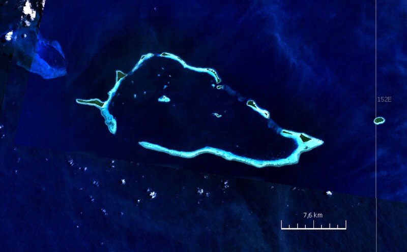
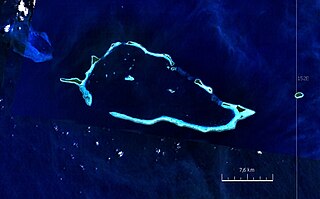
English: Satellite image of Conflict Group atoll, Papua New Guinea |
| Datum | jaren 2000 |
| Bron | NASA World Wind screen shot |
| Auteur | NASA |
Licentie
| Deze afbeelding bevindt zich in het publiek domein omdat het een screenshot is van NASA’s software World Wind die gebruik maakt van een publiek domein-laag, zoals Blue Marble, MODIS, Landsat, SRTM, USGS of GLOBE.
|
 |
Bestandsgeschiedenis
Klik op een datum/tijd om het bestand te zien zoals het destijds was.
| Datum/tijd | Miniatuur | Afmetingen | Gebruiker | Opmerking | |
|---|---|---|---|---|---|
| huidige versie | 24 aug 2010 22:52 | | 883 × 548 (289 kB) | Ratzer | {{Information |Description={{en|1=Satellite image of Conflict Group atoll, Papua New Guinea}} |Source=NASA World Wind screen shot |Author=NASA |Date=2000s |Permission= |other_versions= }} Category:Satellite pictures of Papua New Guinea [[Category:Lou |
Bestandsgebruik
Dit bestand wordt op de volgende pagina gebruikt:
Globaal bestandsgebruik
De volgende andere wiki's gebruiken dit bestand:
- Gebruikt op ceb.wikipedia.org
- Gebruikt op de.wikipedia.org
- Gebruikt op en.wikipedia.org
- Gebruikt op te.wikipedia.org
- Gebruikt op www.wikidata.org