
Bestand:Down Brit Isles Sect 7.svg

Afmetingen van deze voorvertoning van het type PNG van dit SVG-bestand: 491 × 599 pixels Andere resoluties: 197 × 240 pixels | 393 × 480 pixels | 630 × 768 pixels | 840 × 1.024 pixels | 1.679 × 2.048 pixels | 583 × 711 pixels.
Oorspronkelijk bestand (SVG-bestand, nominaal 583 × 711 pixels, bestandsgrootte: 1.004 kB)
| Dit is een bestand van Wikimedia Commons. Onderstaande beschrijving komt van de beschrijving van het bestand daar. |
Beschrijving
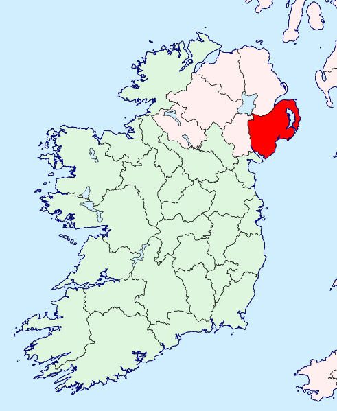
| Beschrijving | County Down location map | ||
| Datum | |||
| Bron | British Isles in counties.svg | ||
| Auteur | |||
| Toestemming (Hergebruik van dit bestand) |
|
Bestandsgeschiedenis
Klik op een datum/tijd om het bestand te zien zoals het destijds was.
| Datum/tijd | Miniatuur | Afmetingen | Gebruiker | Opmerking | |
|---|---|---|---|---|---|
| huidige versie | 13 sep 2019 00:00 | | 583 × 711 (1.004 kB) | Hogweard | {{Information |Description=County Down location map |Source=British Isles in counties.svg |Date=2019-09-12 |Author=*{{u|Visitor from Wikishire}} *{{u|Hogweard}} |Permission={{PD-self}} |other_versions= }} Down Down Category:Locator maps of County Down |
Bestandsgebruik
Dit bestand wordt op de volgende pagina gebruikt:
Globaal bestandsgebruik
De volgende andere wiki's gebruiken dit bestand:
- Gebruikt op www.wikidata.org