
Bestand:Drapeau fr département Cher.svg

Afmetingen van deze voorvertoning van het type PNG van dit SVG-bestand: 800 × 533 pixels Andere resoluties: 320 × 213 pixels | 640 × 427 pixels | 1.024 × 683 pixels | 1.280 × 853 pixels | 2.560 × 1.707 pixels | 1.200 × 800 pixels.
Oorspronkelijk bestand (SVG-bestand, nominaal 1.200 × 800 pixels, bestandsgrootte: 3 kB)
| Dit is een bestand van Wikimedia Commons. Onderstaande beschrijving komt van de beschrijving van het bestand daar. |
| Beschrijving |
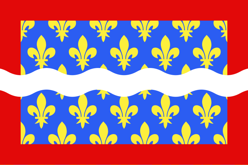
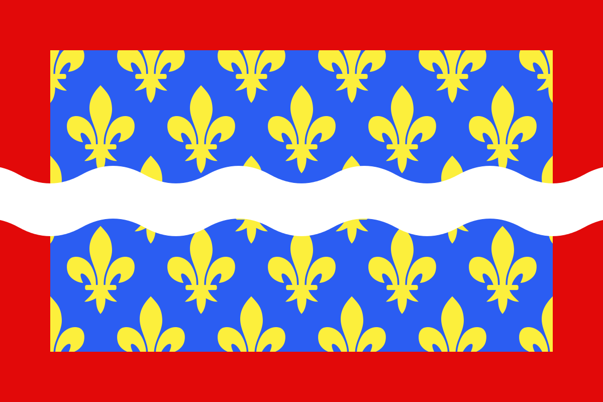
English: Flag of Cher
Français : Drapeau du département du Cher
Español: Banderas de Cher |
| Datum | |
| Bron | Eigen werk |
| Auteur | user:Spedona |
Ik, de auteursrechthebbende van dit werk, maak het hierbij onder de volgende licenties beschikbaar:

|
Toestemming wordt verleend voor het kopiëren, verspreiden en/of wijzigen van dit document onder de voorwaarden van de GNU-licentie voor vrije documentatie, versie 1.2 of enige latere versie als gepubliceerd door de Free Software Foundation; zonder Invariant Sections, zonder Front-Cover Texts, en zonder Back-Cover Texts. Een kopie van de licentie is opgenomen in de sectie GNU-licentie voor vrije documentatie. |
| Dit bestand is gelicenseerd onder de Creative Commons-licentie Naamsvermelding-Gelijk delen 3.0 Unported | ||
| ||
| Deze licentietag is toegevoegd aan dit bestand in verband met de GFDL licentie-update. |
Dit bestand is gelicenseerd onder de Creative Commons-licenties Naamsvermelding-Gelijk delen 2.5 Algemeen, 2.0 Algemeen en 1.0 Algemeen.
- De gebruiker mag:
- Delen – het werk kopiëren, verspreiden en doorgeven
- Remixen – afgeleide werken maken
- Onder de volgende voorwaarden:
- naamsvermelding – U moet op een gepaste manier aan naamsvermelding doen, een link naar de licentie geven, en aangeven of er wijzigingen in het werk zijn aangebracht. U mag dit op elke redelijke manier doen, maar niet zodanig dat de indruk wordt gewekt dat de licentiegever instemt met uw werk of uw gebruik van zijn werk.
- Gelijk delen – Als u het werk heeft geremixt, veranderd, of erop heeft voortgebouwd, moet u het gewijzigde materiaal verspreiden onder dezelfde licentie als het oorspronkelijke werk, of een daarmee compatibele licentie.
U mag zelf één van de licenties kiezen.
Bestandsgeschiedenis
Klik op een datum/tijd om het bestand te zien zoals het destijds was.
| Datum/tijd | Miniatuur | Afmetingen | Gebruiker | Opmerking | |
|---|---|---|---|---|---|
| huidige versie | 22 dec 2012 11:43 | | 1.200 × 800 (3 kB) | Alkari | code cleanup/file size reduction |
| 29 nov 2007 19:37 |  | 1.203 × 797 (110 kB) | Spedona | {{Information |Description={{en|Flag of Cher}} {{fr|Drapeau du département du Cher}} {{es|Banderas de Cher}} |Source=own work |Date=28 novembre 2007 |Author=user:Spedona |Permission=see below |other_versions= - }} {{self2|GFDL|cc-by-sa-2.5,2.0,1.0}} |
Bestandsgebruik
Dit bestand wordt op de volgende 2 pagina's gebruikt:
Globaal bestandsgebruik
De volgende andere wiki's gebruiken dit bestand:
- Gebruikt op an.wikipedia.org
- Gebruikt op ar.wikipedia.org
- Gebruikt op az.wikipedia.org
- Gebruikt op bg.wikipedia.org
- Gebruikt op ca.wikipedia.org
- Gebruikt op ceb.wikipedia.org
- Gebruikt op ce.wikipedia.org
- Gebruikt op cs.wikipedia.org
- Gebruikt op da.wikipedia.org
- Gebruikt op de.wikivoyage.org
- Gebruikt op el.wikipedia.org
- Gebruikt op en.wikipedia.org
- Cher (department)
- ISO 3166-2:FR
- Flags of the regions of France
- Timeline of the introduction of television in countries
- List of flags by color combination
- List of political and geographic subdivisions by total area from 5,000 to 20,000 square kilometers
- List of political and geographic subdivisions by total area (all)
- List of political and geographic subdivisions by total area from 7,000 to 10,000 square kilometers
- User:Charles G. Delahaye/sandbox
- Template:Country data Cher
- User:Germenfer/sandbox5
- Gebruikt op es.wikipedia.org
- Cher (departamento)
- Anexo:Banderas de Francia
- Cantón de Baugy
- Cantón de Argent-sur-Sauldre
- Cantón de Bourges-5
- Cantón de Charenton-du-Cher
- Cantón de Châteauneuf-sur-Cher
- Cantón de Graçay
- Cantón de Henrichemont
- Cantón de La Chapelle-d'Angillon
- Cantón de Le Châtelet
- Cantón de Léré
- Cantón de Les Aix-d'Angillon
- Cantón de Levet
- Cantón de Lignières
- Cantón de Lury-sur-Arnon
- Cantón de Nérondes
- Cantón de Sancergues
- Cantón de Sancoins
- Cantón de Saulzais-le-Potier
- Cantón de Vailly-sur-Sauldre
- Gebruikt op fa.wikipedia.org
- Gebruikt op fr.wikipedia.org
Globaal gebruik van dit bestand bekijken.