
Bestand:EU NUTS 2 Adriatic Euroregion.svg

Afmetingen van deze voorvertoning van het type PNG van dit SVG-bestand: 535 × 389 pixels Andere resoluties: 320 × 233 pixels | 640 × 465 pixels | 1.024 × 745 pixels | 1.280 × 931 pixels | 2.560 × 1.861 pixels.
Oorspronkelijk bestand (SVG-bestand, nominaal 535 × 389 pixels, bestandsgrootte: 1.022 kB)
| Dit is een bestand van Wikimedia Commons. Onderstaande beschrijving komt van de beschrijving van het bestand daar. |
Beschrijving
| Beschrijving | |
| Datum | (UTC) |
| Bron | File:EU NUTS 2 population density 2007.svg |
| Auteur |
|
| Toestemming (Hergebruik van dit bestand) |
Ik, de auteursrechthebbende van dit werk, maak het hierbij onder de volgende licentie beschikbaar: Dit bestand is gelicenseerd onder de Creative Commons-licentie Naamsvermelding-Gelijk delen 2.5 Unported
|
| Andere versies |
|


Bestandsgeschiedenis
Klik op een datum/tijd om het bestand te zien zoals het destijds was.
| Datum/tijd | Miniatuur | Afmetingen | Gebruiker | Opmerking | |
|---|---|---|---|---|---|
| huidige versie | 2 mei 2013 20:56 | | 535 × 389 (1.022 kB) | Fulvio314 | Slovenija, Izola, Greece corrections. |
| 2 mei 2013 09:35 |  | 535 × 389 (1,81 MB) | Fulvio314 | Zoom, crop, colors. | |
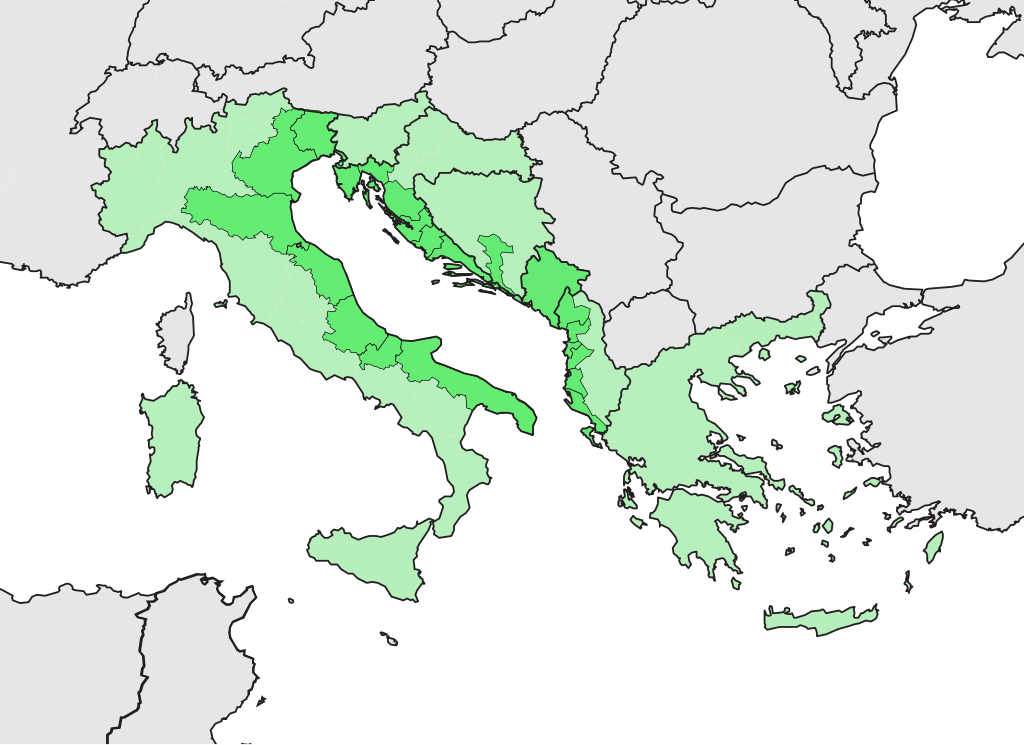
| 18 jun 2011 16:06 |  | 850 × 600 (2,14 MB) | Ciaurlec | {{Information |Description= {{en|1=map of Adriatic Euroregion / NUTS 2 regions of EU, EFTA and candidate countries, 2007}} {{it|1=Mappa dell'Euroregione Adriatica / NUTS 2 Regionen der EU- und EFTA-Länder |
Bestandsgebruik
Dit bestand wordt op de volgende pagina gebruikt:
Globaal bestandsgebruik
De volgende andere wiki's gebruiken dit bestand:
- Gebruikt op ca.wikipedia.org
- Gebruikt op en.wikipedia.org
- Gebruikt op es.wikipedia.org
- Gebruikt op hr.wikipedia.org
- Gebruikt op it.wikipedia.org
- Gebruikt op ja.wikipedia.org
- Gebruikt op www.wikidata.org