
Bestand:East Renfrewshire UK location map.svg

Afmetingen van deze voorvertoning van het type PNG van dit SVG-bestand: 634 × 600 pixels Andere resoluties: 254 × 240 pixels | 507 × 480 pixels | 812 × 768 pixels | 1.083 × 1.024 pixels | 2.165 × 2.048 pixels | 1.425 × 1.348 pixels.
Oorspronkelijk bestand (SVG-bestand, nominaal 1.425 × 1.348 pixels, bestandsgrootte: 825 kB)
| Dit is een bestand van Wikimedia Commons. Onderstaande beschrijving komt van de beschrijving van het bestand daar. |
| Beschrijving |
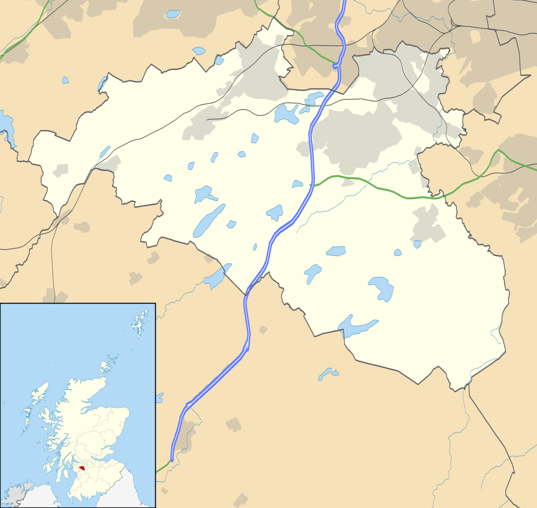
Blank map of East Renfrewshire, UK with the following information shown:
Equirectangular map projection on WGS 84 datum, with N/S stretched 175% Geographic limits:
|
| Datum | |
| Bron |
|
| Auteur | Nilfanion, created using Ordnance Survey data |
| Toestemming (Hergebruik van dit bestand) |
Dit bestand is gelicenseerd onder de Creative Commons-licentie Naamsvermelding-Gelijk delen 3.0 Unported Naamsvermelding: Contains Ordnance Survey data © Crown copyright and database right
|
| Andere versies | File:East Renfrewshire UK blank map.svg - Blank map |
Bestandsgeschiedenis
Klik op een datum/tijd om het bestand te zien zoals het destijds was.
| Datum/tijd | Miniatuur | Afmetingen | Gebruiker | Opmerking | |
|---|---|---|---|---|---|
| huidige versie | 26 sep 2010 22:13 | | 1.425 × 1.348 (825 kB) | Nilfanion | {{Information |Description=Blank map of East Renfrewshire, UK with the following information shown: *Administrative borders *Coastline, lakes and rivers *Roads and railways *Urban areas Equirectangular map projection on WGS 84 dat |
Bestandsgebruik
Dit bestand wordt op de volgende 11 pagina's gebruikt:
Globaal bestandsgebruik
De volgende andere wiki's gebruiken dit bestand:
- Gebruikt op ar.wikipedia.org
- Gebruikt op bg.wikipedia.org
- Gebruikt op ceb.wikipedia.org
- Gebruikt op de.wikipedia.org
- Gebruikt op en.wikipedia.org
- East Renfrewshire
- Barrhead
- Newton Mearns
- Giffnock
- Netherlee
- Uplawmoor
- Eaglesham
- Thornliebank
- Muirend
- Stamperland
- Neilston
- Patterton railway station
- Busby, East Renfrewshire
- Waterfoot, East Renfrewshire
- Thorntonhall
- Deaconsbank
- Greenbank Garden
- Module:Location map/data/Scotland East Renfrewshire/doc
- Clarkston explosion
- Clarkston, East Renfrewshire
- Shillford
- Dunterlie Park (1882–1906)
- Dunterlie Park (1906–1919)
- Dunterlie Park
- Module:Location map/data/Scotland East Renfrewshire
- Millhall
- Netherplace
- Barrhead Burgh Hall
- Gebruikt op eo.wikipedia.org
- Gebruikt op es.wikipedia.org
- Gebruikt op fa.wikipedia.org
Globaal gebruik van dit bestand bekijken.