
Bestand:Ethiopia location map.svg

Afmetingen van deze voorvertoning van het type PNG van dit SVG-bestand: 740 × 600 pixels Andere resoluties: 296 × 240 pixels | 593 × 480 pixels | 948 × 768 pixels | 1.264 × 1.024 pixels | 2.528 × 2.048 pixels | 1.844 × 1.494 pixels.
Oorspronkelijk bestand (SVG-bestand, nominaal 1.844 × 1.494 pixels, bestandsgrootte: 711 kB)
Dit is een bestand van Wikimedia Commons.
Onderstaande beschrijving komt van de beschrijving van het bestand daar.
Onderstaande beschrijving komt van de beschrijving van het bestand daar.
Beschrijving
| Beschrijving |
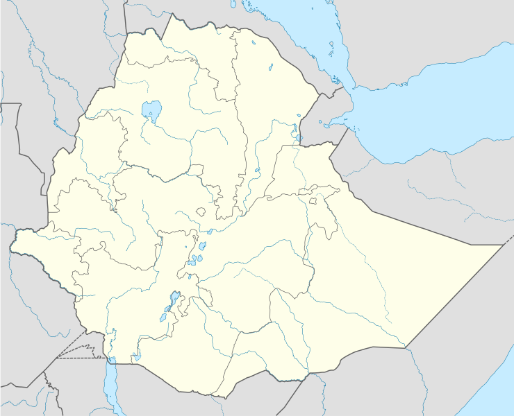
Deutsch: Positionskarte von Äthiopien
Quadratische Plattkarte, N-S-Streckung 102 %. Geographische Begrenzung der Karte:
English: Location map of Ethiopia
Equirectangular projection, N/S stretching 102 %. Geographic limits of the map:
|
| Datum | |
| Bron |
Eigen werk, using
|
| Auteur | NordNordWest |
| Toestemming (Hergebruik van dit bestand) |
Ik, de auteursrechthebbende van dit werk, maak het hierbij onder de volgende licentie beschikbaar: Dit bestand is gelicenseerd onder de Creative Commons-licentie Naamsvermelding-Gelijk delen 3.0 Unported
|
| Andere versies |
|


|
Deze kaart is gemaakt of verbeterd in de Duitse Kartenwerkstatt (Map Lab). Je kunt ook zelf kaarten ter verbetering voorstellen.
|
Bestandsgeschiedenis
Klik op een datum/tijd om het bestand te zien zoals het destijds was.
| Datum/tijd | Miniatuur | Afmetingen | Gebruiker | Opmerking | |
|---|---|---|---|---|---|
| huidige versie | 13 okt 2021 00:52 | | 1.844 × 1.494 (711 kB) | Gebagebo | Added dotted line for Somaliland |
| 23 mei 2012 16:20 |  | 1.844 × 1.494 (704 kB) | NordNordWest | upd | |
| 10 jul 2011 19:55 |  | 1.843 × 1.494 (349 kB) | NordNordWest | upd | |
| 11 sep 2009 21:29 |  | 1.843 × 1.494 (587 kB) | NordNordWest | =={{int:filedesc}}== {{Information |Description= {{de|Positionskarte von Äthiopien}} Quadratische Plattkarte, N-S-Streckung 102 %. Geographische Begrenzung der Karte: * N: 15.3° N * S: 2.9° N * W: 32.7° O * O: 48.3° O {{en|Location |
Bestandsgebruik
Dit bestand wordt op de volgende pagina gebruikt:
Globaal bestandsgebruik
De volgende andere wiki's gebruiken dit bestand:
- Gebruikt op af.wikipedia.org
- Gebruikt op an.wikipedia.org
- Gebruikt op ar.wikipedia.org
- Gebruikt op arz.wikipedia.org
- Gebruikt op be-tarask.wikipedia.org
- Gebruikt op bg.wikipedia.org
- Gebruikt op bn.wikipedia.org
- Gebruikt op bs.wikipedia.org
- Gebruikt op ce.wikipedia.org
- Gebruikt op ckb.wikipedia.org
- Gebruikt op de.wikipedia.org
- Gebruikt op eo.wikipedia.org
- Gebruikt op fa.wikipedia.org
- Gebruikt op fr.wikipedia.org
- Gebruikt op he.wikivoyage.org
Globaal gebruik van dit bestand bekijken.