
Bestand:Karte Bezirksteile Alsergrund.png
Grootte van deze voorvertoning: 520 × 599 pixels. Andere resoluties: 208 × 240 pixels | 417 × 480 pixels | 667 × 768 pixels | 889 × 1.024 pixels | 1.869 × 2.153 pixels.
Oorspronkelijk bestand (1.869 × 2.153 pixels, bestandsgrootte: 197 kB, MIME-type: image/png)
| Dit is een bestand van Wikimedia Commons. Onderstaande beschrijving komt van de beschrijving van het bestand daar. |
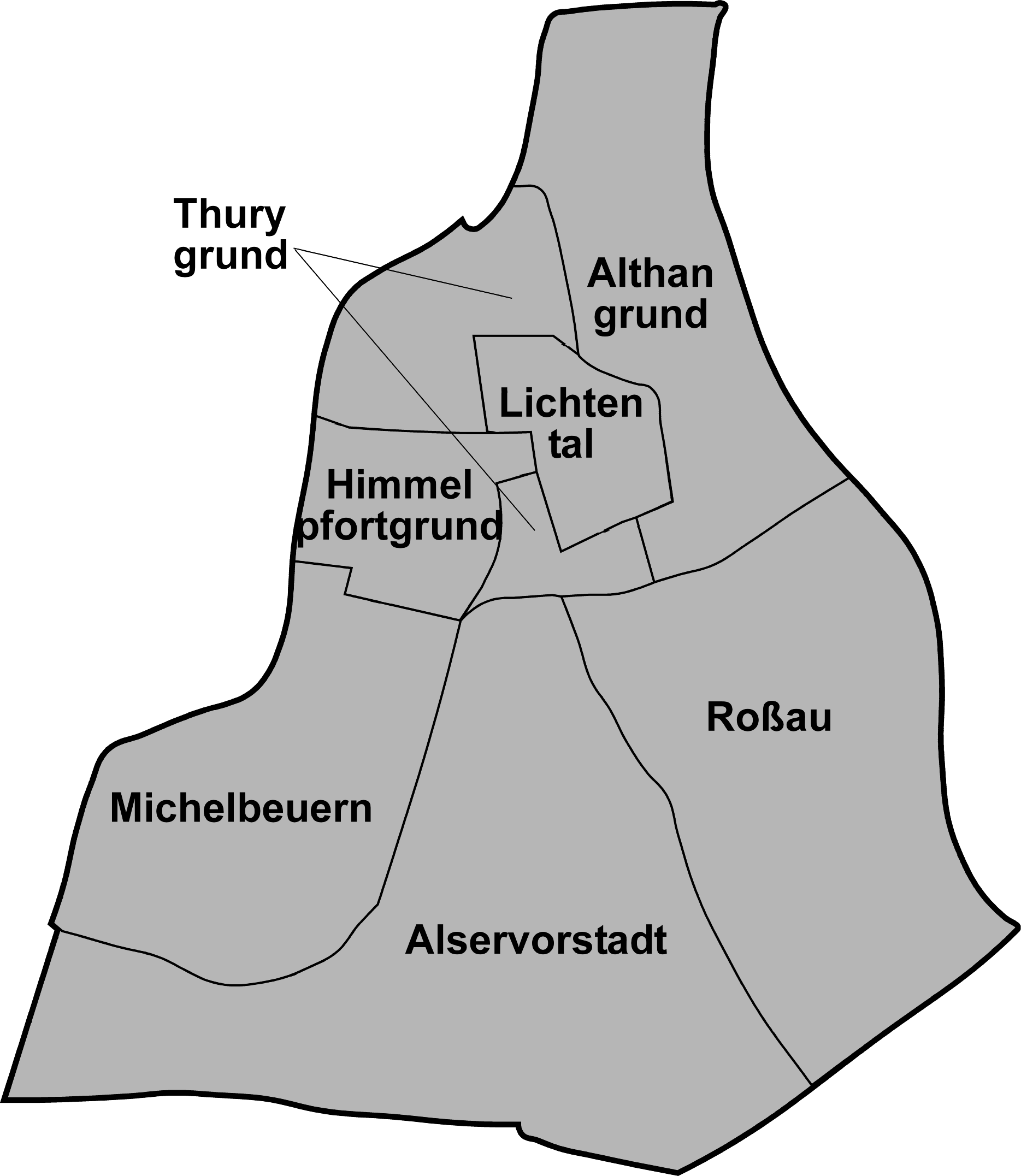
| Beschrijving | Map of Alsergrund |
| Datum | |
| Bron | Map drawn by (Geiserich77) |
| Auteur | Geiserich77 |
| Toestemming (Hergebruik van dit bestand) |
GNU FDL |

|
Toestemming wordt verleend voor het kopiëren, verspreiden en/of wijzigen van dit document onder de voorwaarden van de GNU-licentie voor vrije documentatie, versie 1.2 of enige latere versie als gepubliceerd door de Free Software Foundation; zonder Invariant Sections, zonder Front-Cover Texts, en zonder Back-Cover Texts. Een kopie van de licentie is opgenomen in de sectie GNU-licentie voor vrije documentatie. |
| Dit bestand is gelicenseerd onder de Creative Commons-licentie Naamsvermelding-Gelijk delen 3.0 Unported | ||
| ||
| Deze licentietag is toegevoegd aan dit bestand in verband met de GFDL licentie-update. |
Bestandsgeschiedenis
Klik op een datum/tijd om het bestand te zien zoals het destijds was.
| Datum/tijd | Miniatuur | Afmetingen | Gebruiker | Opmerking | |
|---|---|---|---|---|---|
| huidige versie | 21 jan 2006 11:08 | | 1.869 × 2.153 (197 kB) | Geiserich77 | {{Information| |Description = Map of Alsergrund |Source = Map drawn by (Geiserich77) |Date = 21.01.2006 |Author = Geiserich77 |Permission = GNU FDL |other_versions = - }} {{Bild-GFDL}} Category:Maps of Vienna |
| 29 dec 2005 21:25 |  | 1.869 × 2.153 (193 kB) | Geiserich77 | {{Information| |Description = Map of Alsergrund |Source = Map drawn by (Geiserich77) |Date = 29.12.2005 |Author = Geiserich77 |Permission = GNU FDL |other_versions = - }} {{Bild-GFDL}} [[Category:Vienna, Austria] |
Bestandsgebruik
Dit bestand wordt op de volgende pagina gebruikt:
Globaal bestandsgebruik
De volgende andere wiki's gebruiken dit bestand:
- Gebruikt op ceb.wikipedia.org
- Gebruikt op cs.wikipedia.org
- Gebruikt op de.wikipedia.org
- Gebruikt op en.wikipedia.org
- Gebruikt op et.wikipedia.org
- Gebruikt op hu.wikipedia.org
- Gebruikt op it.wikipedia.org
- Gebruikt op www.wikidata.org