
Bestand:Location map Northwest Territories 2.png
Grootte van deze voorvertoning: 423 × 600 pixels. Andere resoluties: 169 × 240 pixels | 500 × 709 pixels.
Oorspronkelijk bestand (500 × 709 pixels, bestandsgrootte: 99 kB, MIME-type: image/png)
| Dit is een bestand van Wikimedia Commons. Onderstaande beschrijving komt van de beschrijving van het bestand daar. |
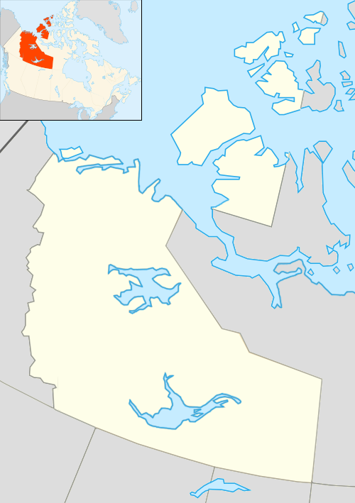
Beschrijving
| Beschrijving |
English: Map of Northwest Territories |
| Datum | |
| Bron | Based on File:Canada location map.svg with inset map of File:Northwest Territories, Canada.svg |
| Auteur | Algkalv and Dr. Blofeld based on original by Yug. Inset map is by EOZyo. Two maps put together by Ruhrfisch (talk) 15:00, 8 September 2010 (UTC) |
| Andere versies |
 |
Licentie
Ik, de auteursrechthebbende van dit werk, maak het hierbij onder de volgende licentie beschikbaar:
Dit bestand is gelicenseerd onder de Creative Commons-licentie Naamsvermelding-Gelijk delen 3.0 Unported
- De gebruiker mag:
- Delen – het werk kopiëren, verspreiden en doorgeven
- Remixen – afgeleide werken maken
- Onder de volgende voorwaarden:
- naamsvermelding – U moet op een gepaste manier aan naamsvermelding doen, een link naar de licentie geven, en aangeven of er wijzigingen in het werk zijn aangebracht. U mag dit op elke redelijke manier doen, maar niet zodanig dat de indruk wordt gewekt dat de licentiegever instemt met uw werk of uw gebruik van zijn werk.
- Gelijk delen – Als u het werk heeft geremixt, veranderd, of erop heeft voortgebouwd, moet u het gewijzigde materiaal verspreiden onder dezelfde licentie als het oorspronkelijke werk, of een daarmee compatibele licentie.
Bestandsgeschiedenis
Klik op een datum/tijd om het bestand te zien zoals het destijds was.
| Datum/tijd | Miniatuur | Afmetingen | Gebruiker | Opmerking | |
|---|---|---|---|---|---|
| huidige versie | 19 jul 2012 03:56 | | 500 × 709 (99 kB) | 117Avenue | slight colour adjustment |
| 8 sep 2010 17:00 |  | 500 × 709 (78 kB) | Ruhrfisch | == Summary == {{Information |Description={{en|1=Map of Northwest Territories}} |Source=Based on File:Canada location map.svg with inset map of File:Northwest Territories, Canada.svg |Author=Algkalv and Dr. Blofeld based on origi |
Bestandsgebruik
Geen enkele pagina gebruikt dit bestand.
Globaal bestandsgebruik
De volgende andere wiki's gebruiken dit bestand:
- Gebruikt op ar.wikipedia.org
- Gebruikt op az.wikipedia.org
- Gebruikt op bg.wikipedia.org
- Gebruikt op ceb.wikipedia.org
- Gebruikt op cs.wikipedia.org
- Gebruikt op en.wikipedia.org
- Gebruikt op fa.wikipedia.org
- Gebruikt op fi.wikipedia.org
- Gebruikt op id.wikipedia.org
- Gebruikt op ja.wikipedia.org
- Gebruikt op kn.wikipedia.org
- Gebruikt op ko.wikipedia.org
- Gebruikt op ml.wikipedia.org
- Gebruikt op ms.wikipedia.org
- Gebruikt op pl.wikipedia.org
Globaal gebruik van dit bestand bekijken.