
Bestand:Location map municipal district Prague - Praha 7.PNG
Geen hogere resolutie beschikbaar.
Location_map_municipal_district_Prague_-_Praha_7.PNG (544 × 399 pixels, bestandsgrootte: 14 kB, MIME-type: image/png)
Dit is een bestand van Wikimedia Commons.
Onderstaande beschrijving komt van de beschrijving van het bestand daar.
Onderstaande beschrijving komt van de beschrijving van het bestand daar.
Beschrijving
| Beschrijving |
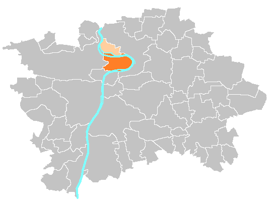
Čeština: Mapka umístění městské části a správního obvodu Praha 7 English: Location map of municipal district and administrative district Prague 7 |
| Bron | self-made, based on image:Prague_municipal_districts.png |
| Auteur | Michiel1972 |
Licentie
| Ik, de auteursrechthebbende van dit werk, geef dit werk vrij in het publieke domein. Dit is wereldwijd van toepassing. In sommige landen is dit wettelijk niet mogelijk; in die gevallen geldt: Ik sta iedereen toe dit werk voor eender welk doel te gebruiken, zonder enige voorwaarden, tenzij zulke voorwaarden door de wet worden voorgeschreven. |
Bestandsgeschiedenis
Klik op een datum/tijd om het bestand te zien zoals het destijds was.
| Datum/tijd | Miniatuur | Afmetingen | Gebruiker | Opmerking | |
|---|---|---|---|---|---|
| huidige versie | 21 nov 2014 12:50 | | 544 × 399 (14 kB) | Valdemar | tmavě oranžová městská část, světle oranžová zbytek správního obvodu (zároveň i starého městského obvodu) |
| 5 sep 2014 10:22 |  | 544 × 399 (14 kB) | Valdemar | correction | |
| 4 sep 2014 19:45 |  | 544 × 399 (14 kB) | Valdemar | colors | |
| 19 sep 2007 22:08 |  | 544 × 399 (17 kB) | Michiel1972 | == Summary == {{Information |Description=Location map municipal district Prague |Source=self-made, based on image:Prague_municipal_districts.png |Date= |Author= Michiel1972 }} category:Maps of Prague == Licensing == {{PD-sel |
Bestandsgebruik
Dit bestand wordt op de volgende pagina gebruikt:
Globaal bestandsgebruik
De volgende andere wiki's gebruiken dit bestand: