
Bestand:Locator Bishopric of Naumburg - NL.png
Grootte van deze voorvertoning: 800 × 538 pixels. Andere resoluties: 320 × 215 pixels | 640 × 430 pixels | 1.024 × 689 pixels | 1.280 × 861 pixels | 1.917 × 1.289 pixels.
Oorspronkelijk bestand (1.917 × 1.289 pixels, bestandsgrootte: 1.012 kB, MIME-type: image/png)
| Dit is een bestand van Wikimedia Commons. Onderstaande beschrijving komt van de beschrijving van het bestand daar. |
| Beschrijving |
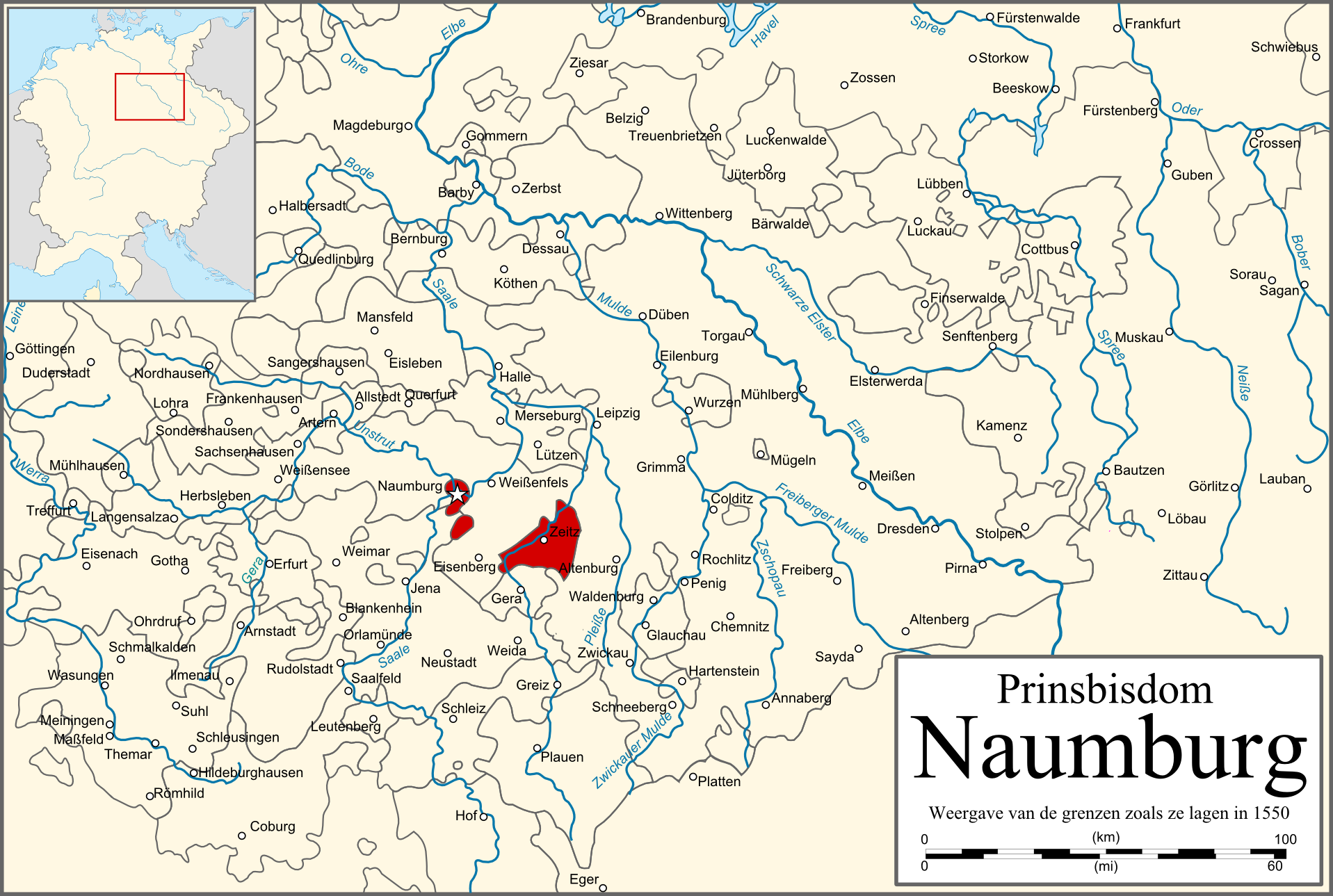
Deutsch: Karte des Hochstifts Naumburg English: Map of the Prince-bishopric of Naumburg |
| Datum | |
| Bron | PERTHES ATLAS Geschichte |
| Auteur | Sir Iain |
| Toestemming (Hergebruik van dit bestand) |
Attribution ShareAlike 3.0 |
Dit bestand is gelicenseerd onder de Creative Commons-licentie Naamsvermelding-Gelijk delen 3.0 Unported
- De gebruiker mag:
- Delen – het werk kopiëren, verspreiden en doorgeven
- Remixen – afgeleide werken maken
- Onder de volgende voorwaarden:
- naamsvermelding – U moet op een gepaste manier aan naamsvermelding doen, een link naar de licentie geven, en aangeven of er wijzigingen in het werk zijn aangebracht. U mag dit op elke redelijke manier doen, maar niet zodanig dat de indruk wordt gewekt dat de licentiegever instemt met uw werk of uw gebruik van zijn werk.
- Gelijk delen – Als u het werk heeft geremixt, veranderd, of erop heeft voortgebouwd, moet u het gewijzigde materiaal verspreiden onder dezelfde licentie als het oorspronkelijke werk, of een daarmee compatibele licentie.
Bestandsgeschiedenis
Klik op een datum/tijd om het bestand te zien zoals het destijds was.
| Datum/tijd | Miniatuur | Afmetingen | Gebruiker | Opmerking | |
|---|---|---|---|---|---|
| huidige versie | 27 feb 2010 23:43 | | 1.917 × 1.289 (1.012 kB) | Sir Iain | {{Information |Description=Map of the Prince-bishopric of Naumburg |Source=PERTHES ATLAS Geschichte |Date=27/02/2010 |Author=Sir Iain |Permission=Attribution ShareAlike 3.0 |other_versions= }} {{cc-by-sa-3.0}} Category:Maps of the Holy Roman Empire[ |
Bestandsgebruik
Dit bestand wordt op de volgende pagina gebruikt:
Globaal bestandsgebruik
De volgende andere wiki's gebruiken dit bestand:
- Gebruikt op de.wikipedia.org
- Gebruikt op it.wikipedia.org