
Bestand:Mapa de la Vega Baja del Segura.svg

Afmetingen van deze voorvertoning van het type PNG van dit SVG-bestand: 595 × 595 pixels Andere resoluties: 240 × 240 pixels | 480 × 480 pixels | 768 × 768 pixels | 1.024 × 1.024 pixels | 2.048 × 2.048 pixels.
Oorspronkelijk bestand (SVG-bestand, nominaal 595 × 595 pixels, bestandsgrootte: 504 kB)
| Dit is een bestand van Wikimedia Commons. Onderstaande beschrijving komt van de beschrijving van het bestand daar. |

|
Dit bestand kan vervangen worden door File:Mapa del Baix Segura.svg. Het wordt aangeraden om het andere bestand te gebruiken. Opmerking: dit bestand zal niet worden verwijderd tenzij het expliciet wordt genomineerd ter verwijdering. empty
|

|
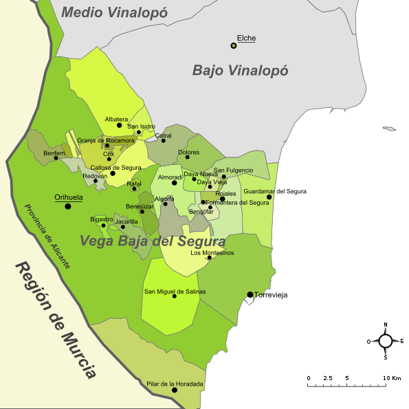
| Beschrijving | Mapa de la comarca de la Vega Baja del Segura (provincia de Alicante, España) |
| Datum | Original: december 2004. Vectorization: february 2008 |
| Bron | Image:Alicante - Mapa municipal.svg, Image:Mapa del Baix Segura.png |
| Auteur | Original: Montxo Vicente i Sempere, uploaded by Martorell, vectorized by Rodriguillo |
| Toestemming (Hergebruik van dit bestand) |
Dit bestand is gelicenseerd onder de Creative Commons-licentie Naamsvermelding-Gelijk delen 2.0 Unported
|
| SVG ontwikkeling | De broncode van dit SVG-bestand is niet deugdelijk vanwege een fout. Deze niet W3C-deugdelijke vectorafbeelding is gemaakt met Inkscape. |
Bestandsgeschiedenis
Klik op een datum/tijd om het bestand te zien zoals het destijds was.
| Datum/tijd | Miniatuur | Afmetingen | Gebruiker | Opmerking | |
|---|---|---|---|---|---|
| huidige versie | 1 dec 2022 22:07 | | 595 × 595 (504 kB) | Vanished user 4afd12r8rh7r5t6r45tr41k8r54dtr56l0e | Reverted to version as of 21:23, 4 October 2017 (UTC) The new version makes no sense in the naming, which is not official (País Valenciano, Múrcia) |
| 23 aug 2022 11:59 |  | 595 × 595 (477 kB) | Martorell | Fixing administrative borders between Land of Valencia and Region of Murcia. | |
| 4 okt 2017 23:23 |  | 595 × 595 (504 kB) | PuriGarcía | Reverted to version as of 17:01, 21 March 2008 (UTC) | |
| 4 okt 2017 23:20 |  | 1.280 × 1.280 (19 kB) | PuriGarcía | Nuevos | |
| 21 mrt 2008 19:01 |  | 595 × 595 (504 kB) | Rodriguillo | {{Information |Description= |Source=self-made |Date= |Author= Rodriguillo |Permission= |other_versions= }} | |
| 22 feb 2008 19:21 |  | 595 × 595 (512 kB) | Rodriguillo | {{Information |Description= Mapa de la comarca de la '''Marina Alta''' (provincia de Alicante, España) |Source=Image:Mapa de la Marina Alta.png, Image:Alicante - Mapa municipal.svg |Date=Original: december 2004. Vectorization: february 2008 |A |
Bestandsgebruik
Geen enkele pagina gebruikt dit bestand.
Globaal bestandsgebruik
De volgende andere wiki's gebruiken dit bestand:
- Gebruikt op en.wikipedia.org
- Gebruikt op es.wikipedia.org