
Bestand:Mount Hope Bay USGS Map.jpg
Grootte van deze voorvertoning: 657 × 599 pixels. Andere resoluties: 263 × 240 pixels | 526 × 480 pixels | 796 × 726 pixels.
Oorspronkelijk bestand (796 × 726 pixels, bestandsgrootte: 283 kB, MIME-type: image/jpeg)
| Dit is een bestand van Wikimedia Commons. Onderstaande beschrijving komt van de beschrijving van het bestand daar. |
Beschrijving
| Beschrijving |
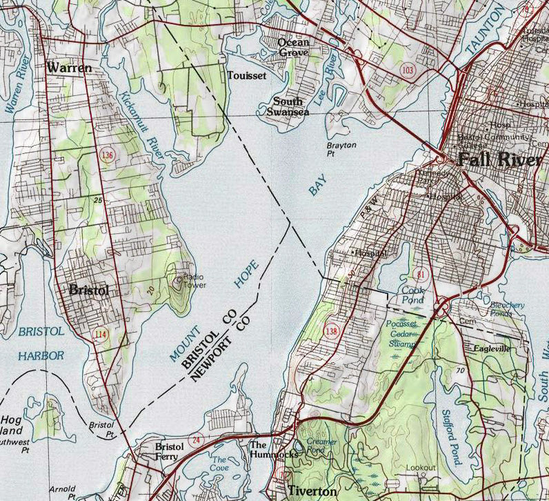
English: Map of Mount Hope Bay and surrounding areas. |
| Datum | |
| Bron | USGS Providence Quadrangle Map 1:100,000 scale |
| Auteur | United States Geological Survey |
Licentie
Deze afbeelding bevindt zich in het publiek domein omdat het materiaal bevat dat oorspronkelijk afkomstig is van de United States Geological Survey, een agentschap van de United States Department of the Interior. Voor meer informatie, zie het officiële USGS-auteursrechtenbeleid
|
Bestandsgeschiedenis
Klik op een datum/tijd om het bestand te zien zoals het destijds was.
| Datum/tijd | Miniatuur | Afmetingen | Gebruiker | Opmerking | |
|---|---|---|---|---|---|
| huidige versie | 27 nov 2010 15:58 | | 796 × 726 (283 kB) | Marcbela | {{Information |Description={{en|1=Map of Mount Hope Bay and surrounding areas.}} |Source=USGS Providence Quadrangle Map 1:100,000 scale |Author=United States Geological Survey |Date=1984 |Permission= |other_versions= }} Category:Rhode Island [[Catego |
Bestandsgebruik
Dit bestand wordt op de volgende pagina gebruikt:
Globaal bestandsgebruik
De volgende andere wiki's gebruiken dit bestand:
- Gebruikt op en.wikipedia.org
- Gebruikt op fr.wikipedia.org
- Gebruikt op ja.wikipedia.org