
Bestand:Normandie.svg

Afmetingen van deze voorvertoning van het type PNG van dit SVG-bestand: 754 × 542 pixels Andere resoluties: 320 × 230 pixels | 640 × 460 pixels | 1.024 × 736 pixels | 1.280 × 920 pixels | 2.560 × 1.840 pixels.
Oorspronkelijk bestand (SVG-bestand, nominaal 754 × 542 pixels, bestandsgrootte: 20 kB)
| Dit is een bestand van Wikimedia Commons. Onderstaande beschrijving komt van de beschrijving van het bestand daar. |
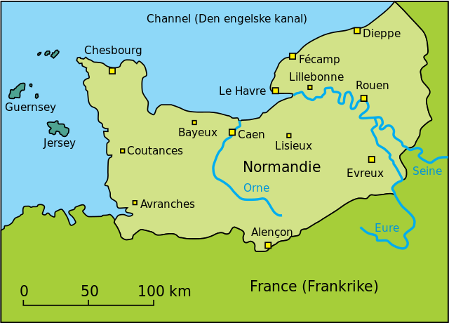
| Beschrijving | Map of Normandie / Kart over Normandie | ||||||||
| Bron | this is my own drawing based upon this file: Image:Normandy map.png. The other one has a request to make a SVG-file, which I have done. | ||||||||
| Auteur | FinnWikiNo | ||||||||
| Toestemming (Hergebruik van dit bestand) |
|
||||||||
| Andere versies | Afgeleide werken van dit bestand: Normandie-es.svg |

Bestandsgeschiedenis
Klik op een datum/tijd om het bestand te zien zoals het destijds was.
| Datum/tijd | Miniatuur | Afmetingen | Gebruiker | Opmerking | |
|---|---|---|---|---|---|
| huidige versie | 28 mrt 2007 19:01 | | 754 × 542 (20 kB) | FinnWikiNo | {{Information |Description=Map of Normandie / Kart over Normandie |Source= |Date= |Author=FinnWikiNo - this is my own drawing based upon this file: Normandy map.png. The other one has a request to make a SVG-file, which I have done. |Permission={{GFD |
| 27 mrt 2007 18:46 |  | 754 × 542 (89 kB) | FinnWikiNo | {{Information |Description=Map of Normandie / Kart over Normandie |Source= |Date= |Author=FinnWikiNo - this is my own drawing based upon this file: Normandy map.png. The other one has a request to make a SVG-file, which I have done. |Permission={{GFD |
Bestandsgebruik
Dit bestand wordt op de volgende pagina gebruikt:
Globaal bestandsgebruik
De volgende andere wiki's gebruiken dit bestand:
- Gebruikt op da.wikipedia.org
- Gebruikt op nn.wikipedia.org
- Gebruikt op no.wikipedia.org
- Gebruikt op ru.wikipedia.org
- Gebruikt op sv.wikipedia.org