
Bestand:PaysBas delisle 1743.jpg

Oorspronkelijk bestand (2.592 × 1.944 pixels, bestandsgrootte: 6,75 MB, MIME-type: image/jpeg)
| Dit is een bestand van Wikimedia Commons. Onderstaande beschrijving komt van de beschrijving van het bestand daar. |
| Beschrijving |
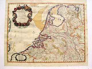
English: Map of The Netherlands, publication date circa 1743
Nederlands: Kaart van Nederland, publicatie ca 1743
Français : Carte des Provinces Unies des Pays Bas, par G. de L'Isle, A Amsterdam 1743 |
| Datum | |
| Bron | Edition Covens & Mortier 1743 from 1702 original. |
| Auteur | Hans Erren |
| Andere versies | Afgeleide werken van dit bestand: Broad Fourteens delisle 1743.jpg |
published by Covens & Mortier, Amsterdam
|
Dit werk bevindt zich in het publiek domein in landen en gebieden waar de auteursrechttermijn het leven van de auteur plus 70 jaar of minder is.
| |
| Van dit bestand is vastgesteld dat er geen bekende auteursrechtaanspraken op rusten, alle aanverwante en naburige rechten daarbij inbegrepen. | |
Bestandsgeschiedenis
Klik op een datum/tijd om het bestand te zien zoals het destijds was.
| Datum/tijd | Miniatuur | Afmetingen | Gebruiker | Opmerking | |
|---|---|---|---|---|---|
| huidige versie | 30 mei 2011 20:47 | | 2.592 × 1.944 (6,75 MB) | Hans Erren | colour correction |
| 26 jun 2010 22:56 |  | 2.592 × 1.944 (5,27 MB) | Hans Erren | {{Information |Description={{en|1=Map of The Netherlands, publication date circa 1743}} {{nl|1=Kaart van Nederland, publicatie ca 1743}} {{fr|1=Carte des Provinces Unies des Pays Bas, par G. de L'Isle, A Amsterdam 1743}} |Source={{own}} |Author=[[User:Han |
Bestandsgebruik
Dit bestand wordt op de volgende pagina gebruikt:
Globaal bestandsgebruik
De volgende andere wiki's gebruiken dit bestand:
- Gebruikt op ar.wikipedia.org
- Gebruikt op en.wikipedia.org
- Gebruikt op hu.wikipedia.org
- Gebruikt op pt.wikipedia.org