
Bestand:Region Grabfeld.png

Grootte van deze voorvertoning: 800 × 554 pixels. Andere resoluties: 320 × 222 pixels | 640 × 443 pixels | 1.024 × 709 pixels | 1.280 × 887 pixels | 1.500 × 1.039 pixels.
Oorspronkelijk bestand (1.500 × 1.039 pixels, bestandsgrootte: 2,05 MB, MIME-type: image/png)
| Dit is een bestand van Wikimedia Commons. Onderstaande beschrijving komt van de beschrijving van het bestand daar. |
Beschrijving
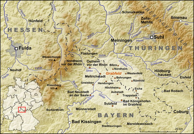
| Beschrijving | Die Region de:Grabfeld |
| Datum | |
| Bron |
own work, used:
|
| Auteur | Lencer |

|
Deze kaart is gemaakt of verbeterd in de Duitse Kartenwerkstatt (Map Lab). Je kunt ook zelf kaarten ter verbetering voorstellen.
|
Licentie
Ik, de auteursrechthebbende van dit werk, maak het hierbij onder de volgende licentie beschikbaar:
Dit bestand is gelicenseerd onder de Creative Commons-licentie Naamsvermelding-Gelijk delen 3.0 Unported
- De gebruiker mag:
- Delen – het werk kopiëren, verspreiden en doorgeven
- Remixen – afgeleide werken maken
- Onder de volgende voorwaarden:
- naamsvermelding – U moet op een gepaste manier aan naamsvermelding doen, een link naar de licentie geven, en aangeven of er wijzigingen in het werk zijn aangebracht. U mag dit op elke redelijke manier doen, maar niet zodanig dat de indruk wordt gewekt dat de licentiegever instemt met uw werk of uw gebruik van zijn werk.
- Gelijk delen – Als u het werk heeft geremixt, veranderd, of erop heeft voortgebouwd, moet u het gewijzigde materiaal verspreiden onder dezelfde licentie als het oorspronkelijke werk, of een daarmee compatibele licentie.
Bestandsgeschiedenis
Klik op een datum/tijd om het bestand te zien zoals het destijds was.
| Datum/tijd | Miniatuur | Afmetingen | Gebruiker | Opmerking | |
|---|---|---|---|---|---|
| huidige versie | 12 aug 2008 21:41 | | 1.500 × 1.039 (2,05 MB) | Lencer | {{Information |Description= |Source= |Date= |Author= |Permission= |other_versions= }} |
| 12 aug 2008 21:29 |  | 1.500 × 1.039 (2,05 MB) | Lencer | == Beschreibung == {{Information |Description=Die Werra und ihre Nebenflüsse |Source=own work, used: * http://www.openstreetmap.org * [http://www2.demis.nl/wms/mapclip.htm Demis Webserver] * Generic Mapping Tools |Date=August 2008 |Author=[ |
Bestandsgebruik
Dit bestand wordt op de volgende pagina gebruikt:
Globaal bestandsgebruik
De volgende andere wiki's gebruiken dit bestand:
- Gebruikt op cs.wikipedia.org
- Gebruikt op de.wikipedia.org
- Gebruikt op en.wikipedia.org
- Gebruikt op incubator.wikimedia.org
- Gebruikt op pl.wikivoyage.org
- Gebruikt op ru.wikipedia.org