
Bestand:Saint Kitts and Nevis relief location map.svg

Afmetingen van deze voorvertoning van het type PNG van dit SVG-bestand: 648 × 600 pixels Andere resoluties: 259 × 240 pixels | 519 × 480 pixels | 830 × 768 pixels | 1.106 × 1.024 pixels | 2.213 × 2.048 pixels | 1.264 × 1.170 pixels.
Oorspronkelijk bestand (SVG-bestand, nominaal 1.264 × 1.170 pixels, bestandsgrootte: 137 kB)
Dit is een bestand van Wikimedia Commons.
Onderstaande beschrijving komt van de beschrijving van het bestand daar.
Onderstaande beschrijving komt van de beschrijving van het bestand daar.
Beschrijving
| Beschrijving |
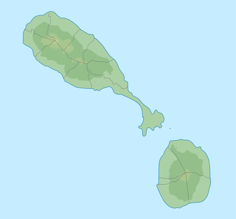
English: Location map of Saint Kitts and Nevis. Geographic limits of the map:
|
| Datum | |
| Bron |
Eigen werk, transferred from el.wikipedia; transferred to Commons by User:MARKELLOS using CommonsHelper. + File:Saint Kitts and Nevis location map.svg |
| Auteur |
Αντιγόνη +Xfigpower+ Graphic made by Carport |
Licentie
Dit bestand is gelicenseerd onder de Creative Commons Naamsvermelding-GelijkDelen 4.0 Internationaal licentie.
- De gebruiker mag:
- Delen – het werk kopiëren, verspreiden en doorgeven
- Remixen – afgeleide werken maken
- Onder de volgende voorwaarden:
- naamsvermelding – U moet op een gepaste manier aan naamsvermelding doen, een link naar de licentie geven, en aangeven of er wijzigingen in het werk zijn aangebracht. U mag dit op elke redelijke manier doen, maar niet zodanig dat de indruk wordt gewekt dat de licentiegever instemt met uw werk of uw gebruik van zijn werk.
- Gelijk delen – Als u het werk heeft geremixt, veranderd, of erop heeft voortgebouwd, moet u het gewijzigde materiaal verspreiden onder dezelfde licentie als het oorspronkelijke werk, of een daarmee compatibele licentie.
Bestandsgeschiedenis
Klik op een datum/tijd om het bestand te zien zoals het destijds was.
| Datum/tijd | Miniatuur | Afmetingen | Gebruiker | Opmerking | |
|---|---|---|---|---|---|
| huidige versie | 12 nov 2018 13:38 | | 1.264 × 1.170 (137 kB) | Xfigpower | User created page with UploadWizard |
Bestandsgebruik
Dit bestand wordt op de volgende 8 pagina's gebruikt:
Globaal bestandsgebruik
De volgende andere wiki's gebruiken dit bestand:
- Gebruikt op bg.wikipedia.org
- Gebruikt op de.wikipedia.org
- Booby Island (St. Kitts und Nevis)
- Vorlage:Positionskarte St. Kitts und Nevis
- Mount Liamuiga
- Nevis Peak
- Verchild’s Peak
- Olivees Mountain
- The Weir
- Camp Crater
- Monkey Hill (St. Kitts)
- Dos D’ane Pond
- Great Salt Pond (St. Kitts)
- Cow Rocks
- Greatheeds Pond
- Half Moon Pond
- Round Hill (Nevis)
- Saddle Hill (Nevis)
- Tower Hill (Nevis)
- Gebruikt op es.wikipedia.org
- Gebruikt op et.wikipedia.org
- Gebruikt op fr.wikipedia.org
- Saint-Christophe (île)
- Niévès
- Bataille de Saint-Christophe
- Parc national de la forteresse de Brimstone Hill
- Modèle:Géolocalisation/Saint-Christophe-et-Niévès
- Projet:Cartographie/Géolocalisation/Maintenance/Images des pays
- Modèle:Géolocalisation/Saint-Christophe-et-Niévès/Documentation
- Mont Liamuiga
- Siège de Brimstone Hill
- Île Booby (Saint-Christophe-et-Niévès)
- Banque centrale des Caraïbes orientales
- Gebruikt op lld.wikipedia.org
- Gebruikt op pl.wikipedia.org
- Gebruikt op uk.wikipedia.org