
Bestand:ShizuokaMapCurrent.png

Grootte van deze voorvertoning: 800 × 500 pixels. Andere resoluties: 320 × 200 pixels | 640 × 400 pixels | 1.024 × 640 pixels | 1.281 × 801 pixels.
Oorspronkelijk bestand (1.281 × 801 pixels, bestandsgrootte: 30 kB, MIME-type: image/png)
| Dit is een bestand van Wikimedia Commons. Onderstaande beschrijving komt van de beschrijving van het bestand daar. |
Beschrijving
| Beschrijving |
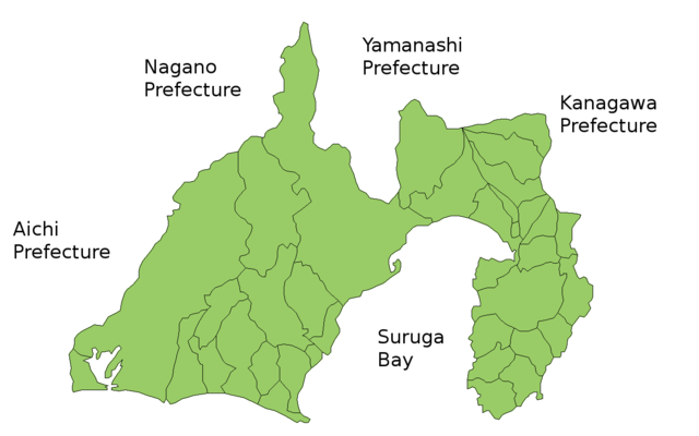
Map of Shizuoka Prefecture, Japan. Thanks to Aoki Shigenobu and [1]. Colors from Image:TokyoMapCurrent.png by User:Fg2. |
| Datum | 19 juli 2006 (originele uploaddatum) |
| Bron | Geen machineleesbare bron opgegeven. Eigen werk aangenomen (gebaseerd op auteursrechtclaims). |
| Auteur | Geen machineleesbare auteur aanwezig. Op basis van auteursrechtclaims wordt auteur Akanemoto~commonswiki aangenomen. |
Licentie
| Ik, de auteursrechthebbende van dit werk, geef dit werk vrij in het publieke domein. Dit is wereldwijd van toepassing. In sommige landen is dit wettelijk niet mogelijk; in die gevallen geldt: Ik sta iedereen toe dit werk voor eender welk doel te gebruiken, zonder enige voorwaarden, tenzij zulke voorwaarden door de wet worden voorgeschreven. |
Bestandsgeschiedenis
Klik op een datum/tijd om het bestand te zien zoals het destijds was.
| Datum/tijd | Miniatuur | Afmetingen | Gebruiker | Opmerking | |
|---|---|---|---|---|---|
| huidige versie | 30 mrt 2021 06:34 | | 1.281 × 801 (30 kB) | AichiWikiFixer | update |
| 29 sep 2011 00:12 |  | 1.281 × 801 (42 kB) | Haaninjo | Mergers into Fujieda, Fujinomiya and Kosai | |
| 1 nov 2008 06:02 |  | 1.281 × 801 (43 kB) | Alberth2 | ||
| 19 jul 2006 19:38 |  | 1.281 × 801 (42 kB) | Akanemoto~commonswiki | Map of Shizuoka Prefecture, Japan. Thanks to Aoki Shigenobu and [http://aoki2.si.gunma-u.ac.jp/map/map.html]. Colors from Image:TokyoMapCurrent.png by User:Fg2. Category:Maps of Shizuoka prefecture Category:Maps in English |
Bestandsgebruik
Geen enkele pagina gebruikt dit bestand.
Globaal bestandsgebruik
De volgende andere wiki's gebruiken dit bestand:
- Gebruikt op az.wikipedia.org
- Gebruikt op ckb.wikipedia.org
- Gebruikt op cs.wikipedia.org
- Gebruikt op eu.wikipedia.org
- Gebruikt op fi.wikipedia.org
- Gebruikt op hu.wikipedia.org
- Gebruikt op jv.wikipedia.org
- Gebruikt op lt.wikipedia.org
- Gebruikt op ms.wikipedia.org
- Gebruikt op no.wikipedia.org
- Gebruikt op pl.wikipedia.org
- Gebruikt op ru.wikipedia.org