
Bestand:Sweden location map.svg

Afmetingen van deze voorvertoning van het type PNG van dit SVG-bestand: 311 × 599 pixels Andere resoluties: 124 × 240 pixels | 249 × 480 pixels | 399 × 768 pixels | 532 × 1.024 pixels | 1.064 × 2.048 pixels | 954 × 1.836 pixels.
Oorspronkelijk bestand (SVG-bestand, nominaal 954 × 1.836 pixels, bestandsgrootte: 2,03 MB)
| Dit is een bestand van Wikimedia Commons. Onderstaande beschrijving komt van de beschrijving van het bestand daar. |
Beschrijving
| Beschrijving |
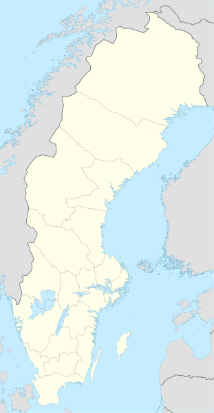
Deutsch: Positionskarte von Schweden
Quadratische Plattkarte, N-S-Streckung 214,7895 %. Geographische Begrenzung der Karte:
English: Location map of Sweden
Equirectangular projection, N/S stretching 214,7895 %. Geographic limits of the map:
|
||
| Datum | |||
| Bron | own work, using United States National Imagery and Mapping Agency data | ||
| Auteur | NordNordWest | ||
| Andere versies |
Afgeleide werken van dit bestand:
|
||
| SVG ontwikkeling | De broncode van dit SVG-bestand is deugdelijk.
|


Licentie
Ik, de auteursrechthebbende van dit werk, maak het hierbij onder de volgende licenties beschikbaar:

|
Toestemming wordt verleend voor het kopiëren, verspreiden en/of wijzigen van dit document onder de voorwaarden van de GNU-licentie voor vrije documentatie, versie 1.2 of enige latere versie als gepubliceerd door de Free Software Foundation; zonder Invariant Sections, zonder Front-Cover Texts, en zonder Back-Cover Texts. Een kopie van de licentie is opgenomen in de sectie GNU-licentie voor vrije documentatie. |
Dit bestand is gelicenseerd onder de Creative Commons-licentie Naamsvermelding-Gelijk delen 3.0 Unported
- De gebruiker mag:
- Delen – het werk kopiëren, verspreiden en doorgeven
- Remixen – afgeleide werken maken
- Onder de volgende voorwaarden:
- naamsvermelding – U moet op een gepaste manier aan naamsvermelding doen, een link naar de licentie geven, en aangeven of er wijzigingen in het werk zijn aangebracht. U mag dit op elke redelijke manier doen, maar niet zodanig dat de indruk wordt gewekt dat de licentiegever instemt met uw werk of uw gebruik van zijn werk.
- Gelijk delen – Als u het werk heeft geremixt, veranderd, of erop heeft voortgebouwd, moet u het gewijzigde materiaal verspreiden onder dezelfde licentie als het oorspronkelijke werk, of een daarmee compatibele licentie.
U mag zelf één van de licenties kiezen.
Bestandsgeschiedenis
Klik op een datum/tijd om het bestand te zien zoals het destijds was.
| Datum/tijd | Miniatuur | Afmetingen | Gebruiker | Opmerking | |
|---|---|---|---|---|---|
| huidige versie | 21 mrt 2023 01:26 | | 954 × 1.836 (2,03 MB) | HCa | Reverted to version as of 18:28, 15 July 2008 (UTC) |
| 1 nov 2015 08:45 |  | 842 × 1.837 (1,01 MB) | Larske | Correction of border between Västra Götalands län and Jönköpings län. Habo municipality and Mullsjö municipality belong to Jönköpings län. | |
| 4 aug 2011 19:11 |  | 842 × 1.837 (981 kB) | NordNordWest | upd | |
| 27 jan 2009 11:24 |  | 954 × 1.837 (2,74 MB) | Erik Frohne | Added missing border Scania-Blekinge Category:Location maps of Sweden | |
| 29 aug 2008 10:22 |  | 954 × 1.837 (2,74 MB) | NordNordWest | ||
| 29 aug 2008 10:18 |  | 954 × 1.837 (1,46 MB) | NordNordWest | ||
| 30 jul 2008 13:32 |  | 954 × 1.836 (1,46 MB) | NordNordWest | optimized | |
| 15 jul 2008 20:28 |  | 954 × 1.836 (2,03 MB) | NordNordWest | {{Information |Description= {{de|Positionskarte von Schweden}} Quadratische Plattkarte, N-S-Streckung 190 %. Geographische Begrenzung der Karte: * N: 69.5° N * S: 55.1° N * W: 10.4° O * O: 24.6° O {{en|Location map of [[:en:Sweden|Swe |
Bestandsgebruik
Geen enkele pagina gebruikt dit bestand.
Globaal bestandsgebruik
De volgende andere wiki's gebruiken dit bestand:
- Gebruikt op af.wikipedia.org
- Gebruikt op als.wikipedia.org
- Gebruikt op am.wikipedia.org
- Gebruikt op an.wikipedia.org
- Gebruikt op ar.wikipedia.org
- Gebruikt op arz.wikipedia.org
- Gebruikt op ast.wikipedia.org
Globaal gebruik van dit bestand bekijken.