
Bestand:Tranchotkaart. Maastricht-Vroenhoven (cropped).jpg
Grootte van deze voorvertoning: 727 × 599 pixels. Andere resoluties: 291 × 240 pixels | 582 × 480 pixels | 883 × 728 pixels.
Oorspronkelijk bestand (883 × 728 pixels, bestandsgrootte: 264 kB, MIME-type: image/jpeg)
| Dit is een bestand van Wikimedia Commons. Onderstaande beschrijving komt van de beschrijving van het bestand daar. |
Beschrijving
| Beschrijving |
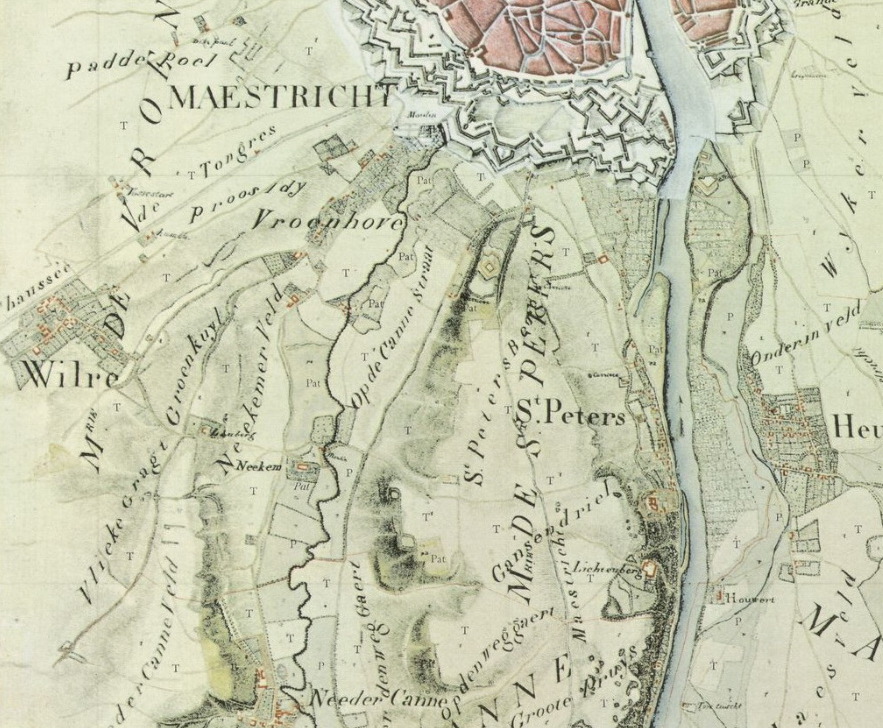
English: Detail of Tranchot map of 1803-1820 with the southwestern tip of the town of Maastricht and some villages in the municipalities of Vroenhoven and Sint Pieter. |
| Datum | |
| Bron | http://imagebase.ubvu.vu.nl/cdm/deepzoom/collection/krt/id/5629/show/5597 |
| Auteur | Jean Joseph Tranchot (ca 1810) |
| Andere versies |

.jpg)
Licentie
|
Dit werk bevindt zich in het publiek domein in landen en gebieden waar de auteursrechttermijn het leven van de auteur plus 70 jaar of minder is. Dit werk bevindt zich in het publiek domein in de Verenigde Staten omdat het gepubliceerd werd (of geregistreerd bij de U.S. Copyright Office) voor 1 januari 1929. | |
| Van dit bestand is vastgesteld dat er geen bekende auteursrechtaanspraken op rusten, alle aanverwante en naburige rechten daarbij inbegrepen. | |
Bestandsgeschiedenis
Klik op een datum/tijd om het bestand te zien zoals het destijds was.
| Datum/tijd | Miniatuur | Afmetingen | Gebruiker | Opmerking | |
|---|---|---|---|---|---|
| huidige versie | 3 feb 2019 10:35 | | 883 × 728 (264 kB) | Kleon3 | File:Tranchotkaart. Maastricht-Vroenhoven.jpg cropped 33 % horizontally, 31 % vertically using CropTool with precise mode. |
Bestandsgebruik
Dit bestand wordt op de volgende pagina gebruikt:
.jpg)