
Bestand:Weymouth and Portland UK locator map.svg

Afmetingen van deze voorvertoning van het type PNG van dit SVG-bestand: 800 × 556 pixels Andere resoluties: 320 × 222 pixels | 640 × 445 pixels | 1.024 × 711 pixels | 1.280 × 889 pixels | 2.560 × 1.779 pixels | 1.425 × 990 pixels.
Oorspronkelijk bestand (SVG-bestand, nominaal 1.425 × 990 pixels, bestandsgrootte: 998 kB)
| Dit is een bestand van Wikimedia Commons. Onderstaande beschrijving komt van de beschrijving van het bestand daar. |
| Beschrijving |
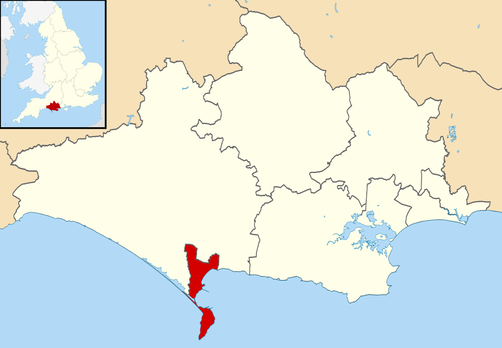
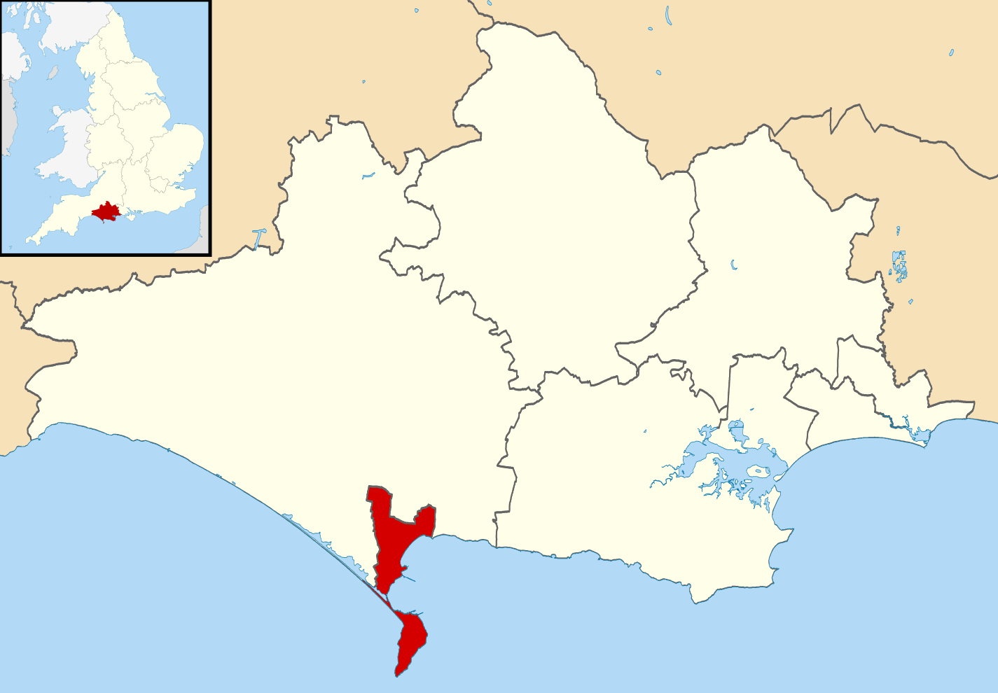
Map of Dorset, UK with Weymouth and Portland highlighted. Equirectangular map projection on WGS 84 datum, with N/S stretched 155% |
| Datum | |
| Bron |
|
| Auteur | Nilfanion, created using Ordnance Survey data |
| Toestemming (Hergebruik van dit bestand) |
Dit bestand is gelicenseerd onder de Creative Commons-licentie Naamsvermelding-Gelijk delen 3.0 Unported Naamsvermelding: Contains Ordnance Survey data © Crown copyright and database right
|
Bestandsgeschiedenis
Klik op een datum/tijd om het bestand te zien zoals het destijds was.
| Datum/tijd | Miniatuur | Afmetingen | Gebruiker | Opmerking | |
|---|---|---|---|---|---|
| huidige versie | 27 feb 2011 01:41 | | 1.425 × 990 (998 kB) | Nilfanion | {{Information |Description=Map of Dorset, UK with Weymouth and Portland highlighted. Equirectangular map projection on WGS 84 datum, with N/S stretched 155% |Source=Ordnance Survey [https://w |
Bestandsgebruik
Dit bestand wordt op de volgende pagina gebruikt:
Globaal bestandsgebruik
De volgende andere wiki's gebruiken dit bestand:
- Gebruikt op bg.wikipedia.org
- Gebruikt op en.wikipedia.org
- Gebruikt op es.wikipedia.org
- Gebruikt op et.wikipedia.org
- Gebruikt op ja.wikipedia.org
- Gebruikt op ko.wikipedia.org
- Gebruikt op lt.wikipedia.org
- Gebruikt op pl.wikipedia.org
- Gebruikt op ro.wikipedia.org
- Gebruikt op ru.wikipedia.org
- Gebruikt op sv.wikipedia.org
- Gebruikt op ur.wikipedia.org
- Gebruikt op www.wikidata.org