
Bestand:Zuid-Holland 4.46664E 51.94925N.jpg

Grootte van deze voorvertoning: 800 × 599 pixels. Andere resoluties: 320 × 240 pixels | 640 × 479 pixels | 1.024 × 766 pixels | 1.280 × 958 pixels.
Oorspronkelijk bestand (1.280 × 958 pixels, bestandsgrootte: 192 kB, MIME-type: image/jpeg)
| Dit is een bestand van Wikimedia Commons. Onderstaande beschrijving komt van de beschrijving van het bestand daar. |
Beschrijving
| Beschrijving |
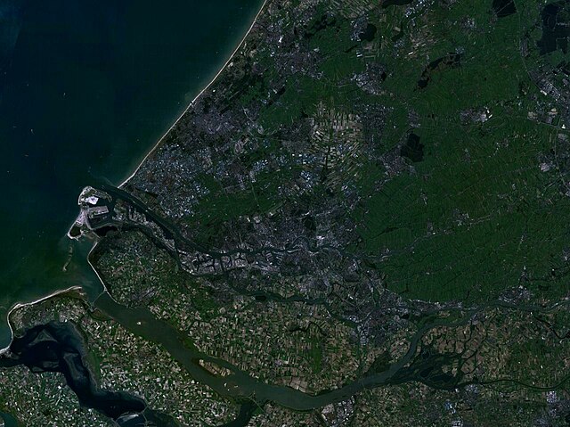
English: Zuid-Holland, the Netherlands |
| Datum | 21 mei 2005 (uploaddatum) |
| Bron | Screenshot from NASA World Wind software |
| Auteur | NASA |
| Objectlocatie | | Deze en andere afbeeldingen in: OpenStreetMap |
|---|
Licentie
| Deze afbeelding bevindt zich in het publiek domein omdat het een screenshot is van NASA’s software World Wind die gebruik maakt van een publiek domein-laag, zoals Blue Marble, MODIS, Landsat, SRTM, USGS of GLOBE.
|
 |
Bestandsgeschiedenis
Klik op een datum/tijd om het bestand te zien zoals het destijds was.
| Datum/tijd | Miniatuur | Afmetingen | Gebruiker | Opmerking | |
|---|---|---|---|---|---|
| huidige versie | 22 mei 2005 00:30 | | 1.280 × 958 (192 kB) | Rex | Zuid-Holland, the Netherlands {{World Wind}} Category:Maps of the Netherlands |
Bestandsgebruik
Dit bestand wordt op de volgende pagina gebruikt: