
Bestand:Bennebroek osm.png
Grootte van deze voorvertoning: 800 × 519 pixels. Andere resoluties: 320 × 208 pixels | 640 × 415 pixels | 1.027 × 666 pixels.
Oorspronkelijk bestand (1.027 × 666 pixels, bestandsgrootte: 361 kB, MIME-type: image/png)
| Dit is een bestand van Wikimedia Commons. Onderstaande beschrijving komt van de beschrijving van het bestand daar. |
Beschrijving
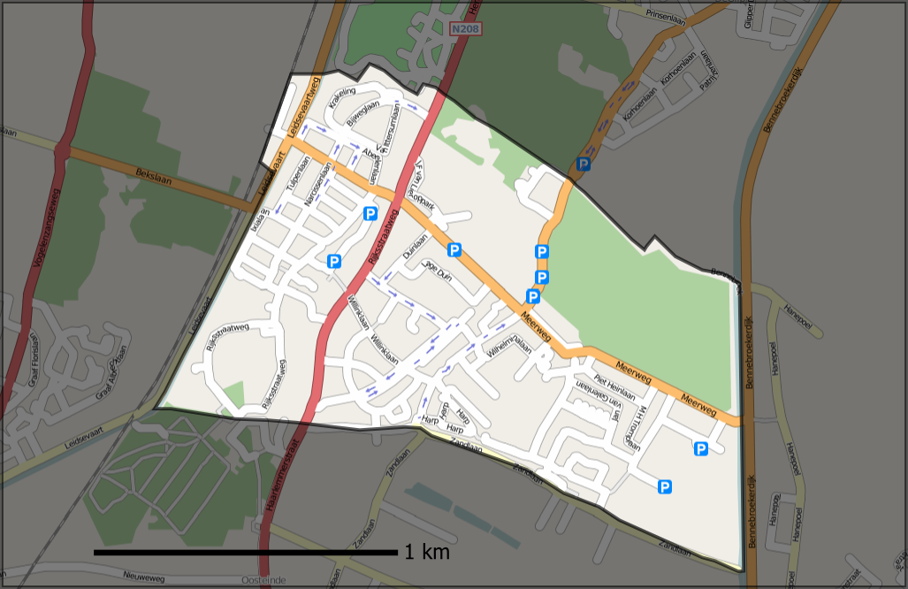
| Beschrijving | Openstreetmap.org map of municipality of Bennebroek (Netherlands), overlayed with its borders, also from OSM (but downloaded the raw data using JOSM and converted to svg). |
| Datum | |
| Bron | Own work, based on mapping from Openstreetmap.org ([1]) |
| Auteur | Contributors of the relevant openstreetmap.org data, User:Mtcv |
| Toestemming (Hergebruik van dit bestand) |
CC-BY-SA-2.0 |
Licentie
Dit bestand is gelicenseerd onder de Creative Commons-licentie Naamsvermelding-Gelijk delen 2.0 Unported
- De gebruiker mag:
- Delen – het werk kopiëren, verspreiden en doorgeven
- Remixen – afgeleide werken maken
- Onder de volgende voorwaarden:
- naamsvermelding – U moet op een gepaste manier aan naamsvermelding doen, een link naar de licentie geven, en aangeven of er wijzigingen in het werk zijn aangebracht. U mag dit op elke redelijke manier doen, maar niet zodanig dat de indruk wordt gewekt dat de licentiegever instemt met uw werk of uw gebruik van zijn werk.
- Gelijk delen – Als u het werk heeft geremixt, veranderd, of erop heeft voortgebouwd, moet u het gewijzigde materiaal verspreiden onder dezelfde licentie als het oorspronkelijke werk, of een daarmee compatibele licentie.
Bestandsgeschiedenis
Klik op een datum/tijd om het bestand te zien zoals het destijds was.
| Datum/tijd | Miniatuur | Afmetingen | Gebruiker | Opmerking | |
|---|---|---|---|---|---|
| huidige versie | 21 okt 2007 13:18 | | 1.027 × 666 (361 kB) | Mtcv | south border was wrong |
| 9 okt 2007 16:43 |  | 1.027 × 666 (367 kB) | Mtcv | {{Information |Description=Openstreetmap.org map of municipality of Bennebroek (Netherlands), overlayed with its borders, also from OSM (but downloaded the raw data using JOSM and converted to svg). |Source=Own work, based on mapping from Openstreetmap.or |
Bestandsgebruik
Dit bestand wordt op de volgende pagina gebruikt:
Globaal bestandsgebruik
De volgende andere wiki's gebruiken dit bestand:
- Gebruikt op en.wikipedia.org
- Gebruikt op fi.wikipedia.org
- Gebruikt op nds-nl.wikipedia.org