
Bestand:California Map.PNG
Geen hogere resolutie beschikbaar.
California_Map.PNG (738 × 499 pixels, bestandsgrootte: 83 kB, MIME-type: image/png)
| Dit is een bestand van Wikimedia Commons. Onderstaande beschrijving komt van de beschrijving van het bestand daar. |
Beschrijving
| Beschrijving | |
| Datum | |
| Bron | |
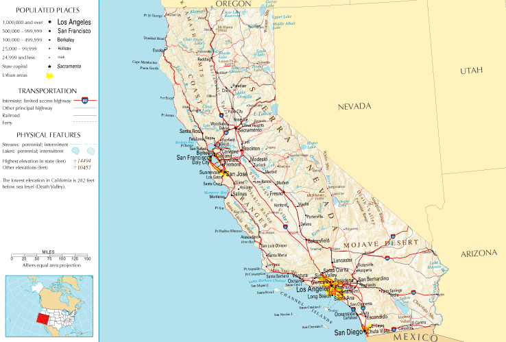
| Auteur | National Atlas of the United States |
| Toestemming (Hergebruik van dit bestand) |
Public domain |
Licentie
This map was obtained from an edition of the National Atlas of the United States. Like almost all works of the U.S. federal government, works from the National Atlas are in the public domain in the United States.
Online access: NationalAtlas.gov | 1970 print edition: Library of Congress, Perry-Castañeda Library
|
Bestandsgeschiedenis
Klik op een datum/tijd om het bestand te zien zoals het destijds was.
| Datum/tijd | Miniatuur | Afmetingen | Gebruiker | Opmerking | |
|---|---|---|---|---|---|
| huidige versie | 10 jul 2011 15:45 | | 738 × 499 (83 kB) | Quibik | Cropped the frame as it is not really necessary. |
| 28 jan 2006 14:14 |  | 764 × 587 (95 kB) | Severino666~commonswiki | Image from the National Atlas of the United States |
Bestandsgebruik
Geen enkele pagina gebruikt dit bestand.
Globaal bestandsgebruik
De volgende andere wiki's gebruiken dit bestand:
- Gebruikt op ca.wikipedia.org
- Gebruikt op en.wikipedia.org
- Gebruikt op fr.wikipedia.org
- Gebruikt op he.wikivoyage.org
- Gebruikt op hr.wiktionary.org
- Gebruikt op mr.wikipedia.org