
Bestand:Location of Europe.svg

Oorspronkelijk bestand (SVG-bestand, nominaal 585 × 299 pixels, bestandsgrootte: 104 kB)
| Dit is een bestand van Wikimedia Commons. Onderstaande beschrijving komt van de beschrijving van het bestand daar. |
Beschrijving
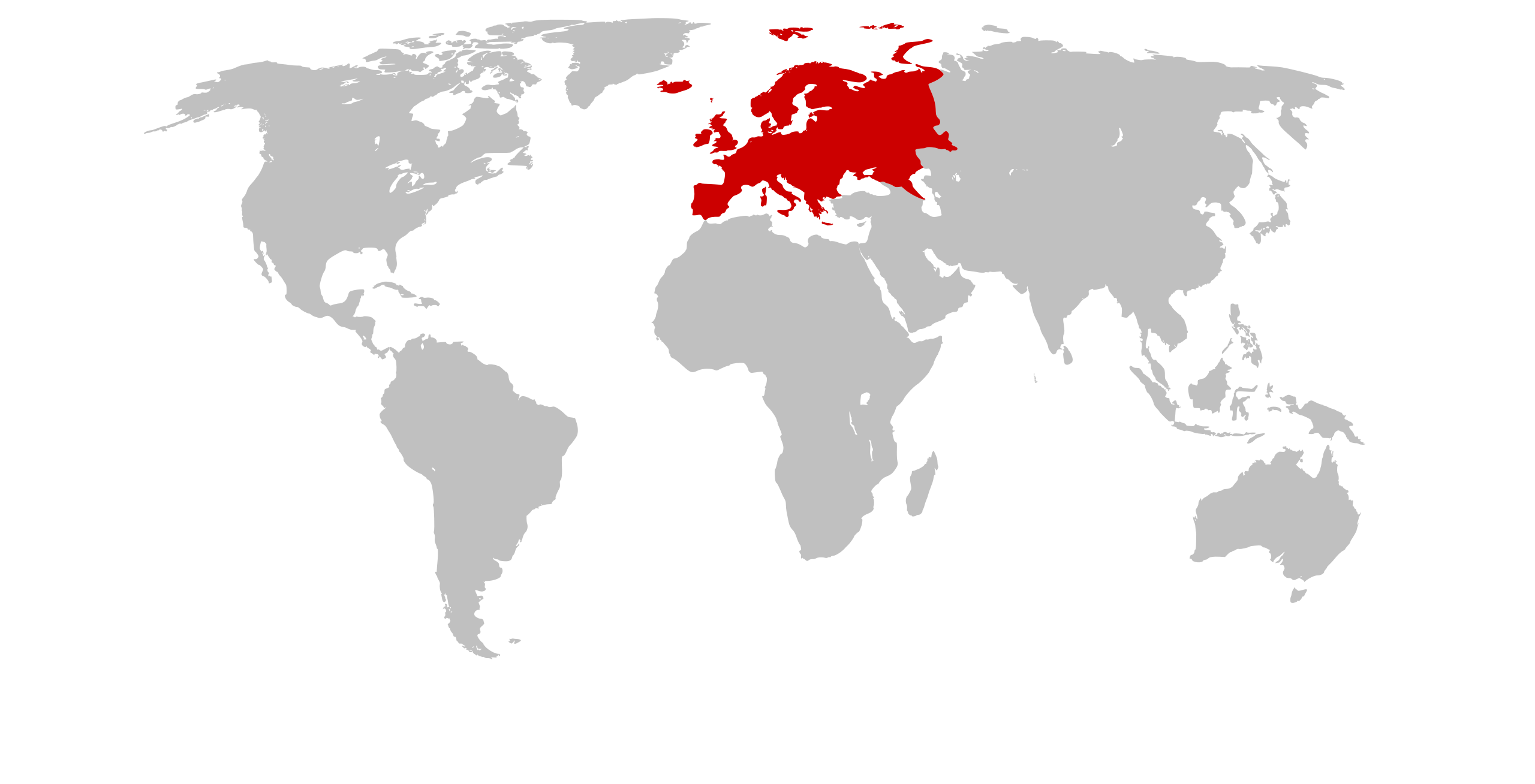
| Beschrijving | Continents with Europe marked |
| Datum | (UTC) |
| Bron | Self drawn, based on Image:Continents.svg |
| Auteur | maix |
| Toestemming (Hergebruik van dit bestand) |
CreativeCommons ShareAlike or GPL |
| Andere versies | see Category:Locator maps for continents |
| SVG ontwikkeling | De broncode van dit SVG-bestand is deugdelijk. Deze kaart is gemaakt met een onbekende SVG-editor |
Licentie
This file is licensed under Creative Commons ShareAlike 1.0 License.
Creative Commons has retired this legal tool and does not recommend that it be applied to works.
|

|
Dit werk is vrije software; u mag de software heruitgeven en/of aanpassen in overeenkomst met de voorwaarden van de GNU Lesser General Public License zoals gepubliceerd door de Free Software Foundation. De geldende versie is 2 van de Licentie, of enige latere versie. Dit werk wordt gedistribueerd in de hoop dat het bruikbaar is, maar zonder enige garantie; zelfs zonder de impliciete garantie van goede werking of geschiktheid voor een bepaald doel. Zie versie 2 en versie 3 van de GNU General Public License voor meer details. |
Bestandsgeschiedenis
Klik op een datum/tijd om het bestand te zien zoals het destijds was.
| Datum/tijd | Miniatuur | Afmetingen | Gebruiker | Opmerking | |
|---|---|---|---|---|---|
| huidige versie | 25 jan 2007 23:20 | | 585 × 299 (104 kB) | Maix | without CSS |
| 25 jan 2007 23:05 |  | 585 × 299 (104 kB) | Maix | {{Information |Description=Continents with Europe marked |Source=Self drawn, based on Image:Continents.svg |Date=~~~~~ |Author=~~~ |Permission=CreativeCommons ShareAlike or GPL |other_versions=see Category:Locator maps for continents }} ==Licen |
Bestandsgebruik
Geen enkele pagina gebruikt dit bestand.
Globaal bestandsgebruik
De volgende andere wiki's gebruiken dit bestand:
- Gebruikt op af.wikipedia.org
- Australasië
- Midde-Ooste
- Sentraal-Amerika
- Atlantiese Oseaan
- Suider-Afrika
- Indiese Oseaan
- Suidelike Oseaan
- Arktiese Oseaan
- Nederlandse koloniale ryk
- Stille Oseaan
- Latyns-Amerika
- Oos-Asië
- Sjabloon:Gebiede van die wêreld
- Noord-Europa
- Melanesië
- Mikronesië
- Polinesië
- Oos-Afrika
- Wes-Afrika
- Noord-Afrika
- Portaal:Inhoudsopgawe/Oorsigte/Geografie en plekke
- Oos-Europa
- Verre Ooste
- Sentraal-Afrika
- Afrika suid van die Sahara
- Seelandië
- Noordpoolgebied
- Karibiese gebied
- Indiese subkontinent
- Suidoos-Asië
- Wes-Asië
- Wes-Europa
- Suid-Europa
- Suid-Asië
- Sentraal-Asië
- Sentraal-Europa
- Suidoos-Europa
- Noord-Asië
- Gebruikt op als.wikipedia.org
Globaal gebruik van dit bestand bekijken.