
Bestand:Bristol map 1946.jpg
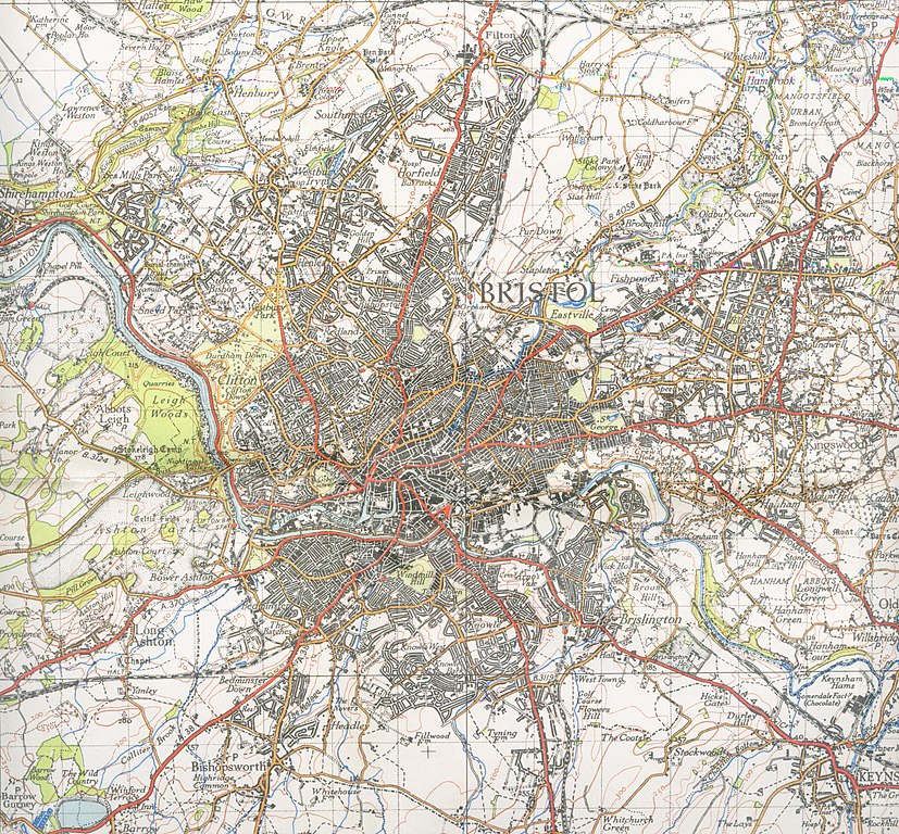
Grootte van deze voorvertoning: 645 × 599 pixels. Andere resoluties: 258 × 240 pixels | 517 × 480 pixels | 827 × 768 pixels | 1.102 × 1.024 pixels | 2.204 × 2.048 pixels | 4.960 × 4.608 pixels.
Oorspronkelijk bestand (4.960 × 4.608 pixels, bestandsgrootte: 3,75 MB, MIME-type: image/jpeg)
| Dit is een bestand van Wikimedia Commons. Onderstaande beschrijving komt van de beschrijving van het bestand daar. |
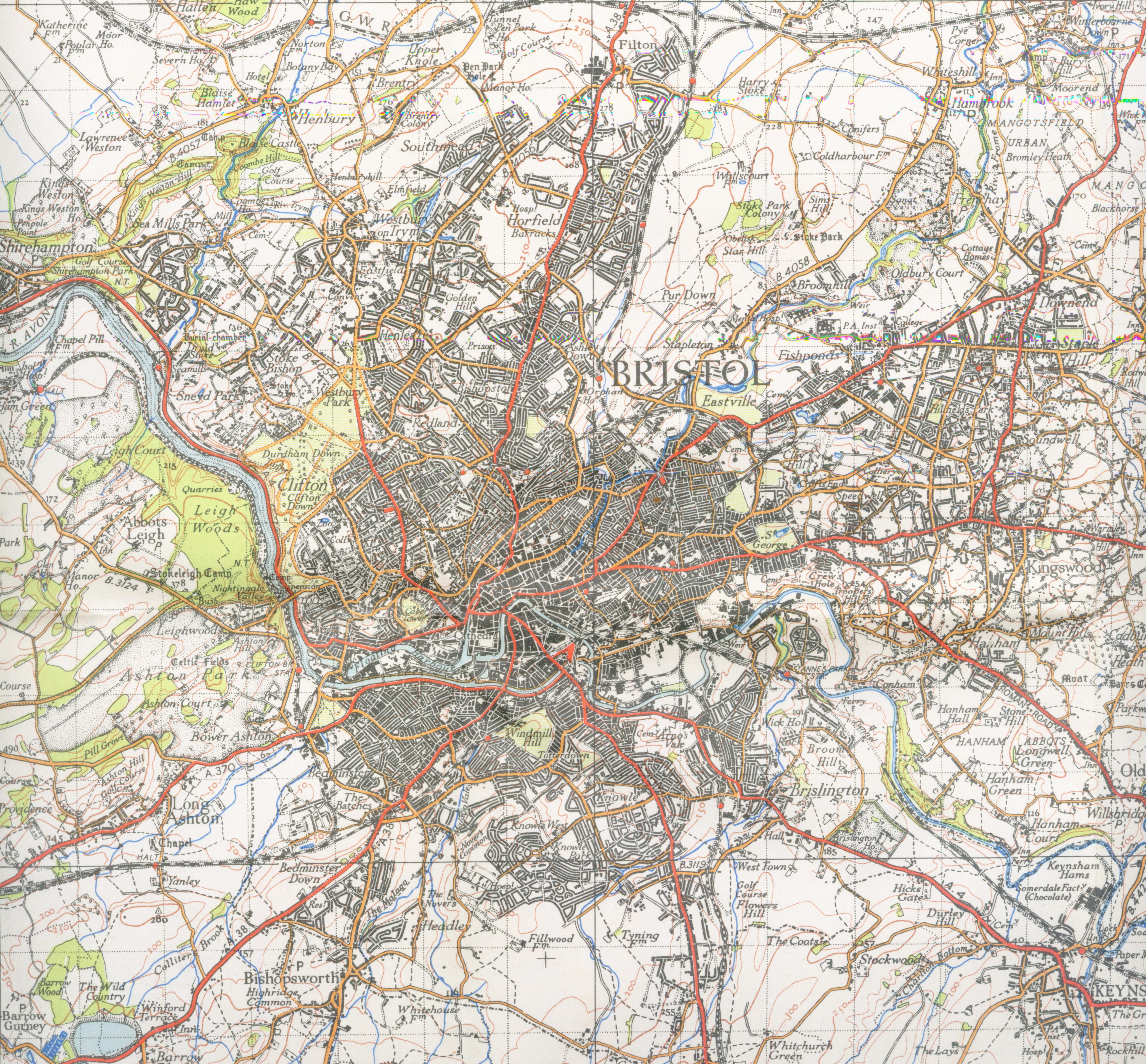
| Beschrijving | Map of Bristol from 1946. Scale 1 inch to the mile 600DPI Sheet 156 | ||||
| Datum | |||||
| Bron | OS | ||||
| Auteur | OS | ||||
| Toestemming (Hergebruik van dit bestand) |
|

| Cameralocatie | | Deze en andere afbeeldingen in: OpenStreetMap |
|---|
Bestandsgeschiedenis
Klik op een datum/tijd om het bestand te zien zoals het destijds was.
| Datum/tijd | Miniatuur | Afmetingen | Gebruiker | Opmerking | |
|---|---|---|---|---|---|
| huidige versie | 2 dec 2007 00:10 | | 4.960 × 4.608 (3,75 MB) | Geni | trying again |
| 16 sep 2007 19:20 |  | 4.352 × 4.800 (3,39 MB) | Geni | {{Information |Description=Map of Bristol from 1946. Scale 1 inch to the mile 600DPI Sheet 156 |Source=OS |Date=1946 |Author=OS |Permission=none needed |other_versions= }} {{oldOS}} Category:Maps of cities in the United Kingdom Category:Bristol |
Bestandsgebruik
Geen enkele pagina gebruikt dit bestand.
Globaal bestandsgebruik
De volgende andere wiki's gebruiken dit bestand:
- Gebruikt op azb.wikipedia.org
- Gebruikt op en.wikipedia.org
- Gebruikt op he.wikipedia.org
- Gebruikt op kn.wikipedia.org