
Overleg:Slag bij Stadtlohn
Onderwerp toevoegenLocation of the battle[brontekst bewerken]
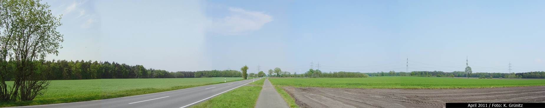
"Van Brunswijk liet zijn leger posities innemen op een heuvel, ..." well, this nonsense is copied on and on and on ... I've visited the battlefield personally and can assure you that there's absolutely NO HILL (http://pics44.de/img/i/a/8/9nqnp40r.jpg) The terrain is as flat as it could be. The photograph is seen from the position of the Brunswickian lines toward North, the direction from which Tilly's army came. The real battlefield was ca 3 kilometres NE' of Stadtlohn across a dammned road called the Düwing Dyk (the road on the photograph) which was the only way for Christian's baggage train across the marshy terrain. Also note that Flieger's battlemap is wrong. -- MfG K. Grünitz — Preceding unsigned comment added by 95.33.101.175 (talk) 12:37, 28 May 2012 (UTC)
- Het is juist nonsens om op basis van een hedendaags landschap eigen conclusies te trekken die rieken naar origineel onderzoek. Zie de:Wikipedia:Keine Theoriefindung. Heeft u er nooit bij stilgestaan dat afgelopen vier eeuwen veel moerassen gedempt, woeste gronden ontgonnen, riviertjes en beken zelfs gekanaliseerd werden? Meent u werkelijk dat in bijna 400 jaren (!) het landschap ongewijzigd is gebleven? Zijn er überhaupt kaarten bekend uit de periode van de Dertigjarige Oorlog die wél betrouwbaar zijn? Nee, pas in de 19e eeuw. Tenslotte, u bevind zich op de Nederlandstalige Wikipedia, het is niet teveel gevraagd zich u te bedienen in de Nederlandse taal? Arch (Overleg) 19 okt 2020 11:38 (CEST)